What happens to tourist towns after everyone goes home?
 Culture
Behind the postcard
What happens to tourist towns after everyone goes home?
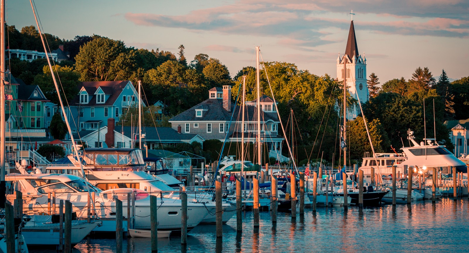
What do Venice, Bar Harbor, Mackinac Island, Cape Cod, and Jackson Hole have in common? During high season, these places receive massive amounts of visitors, eager to explore the area. But when the crowds head home, everything slows down and returns to its natural course. What happens after tourists leave? How do locals get their town back? And what do they worry about once the season changes? Keep reading to see how these destinations work when the crowds are gone.
Storm preparation begins
When high season ends, residents have to prepare for what visitors rarely see. They begin watching weather alerts again, getting ready for floods, storms, and sometimes hurricanes.
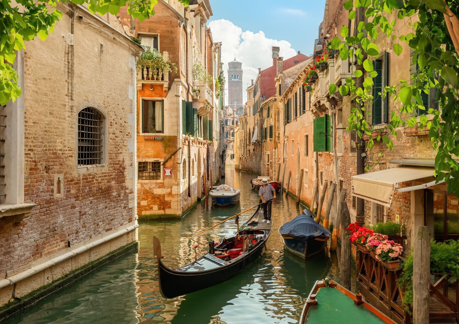
On Cape Cod in Massachusetts, hurricane season runs through November 30, and bad weather can show up well after Labor Day. Once that risk passes, people turn their attention to winter storms and coastal flooding. In Venice, Italy, from fall into winter, high water can flood the city. Crews put up raised walkways called passerelle, and some shop owners set barriers across their doors. When a very high tide is expected, gates rise at the lagoon entrances to help keep the Adriatic Sea out.
Maintenance crews take over
Tourist towns have a storybook quality. They keep their charm thanks to local workers who start the repair jobs just when peak season ends. Since it’s impossible to dig up narrow streets or fix busy sidewalks in July without blocking traffic, cold months are the perfect time to replace old water pipes, fix cracked roads, paint streetlights, and repaint hotel rooms.
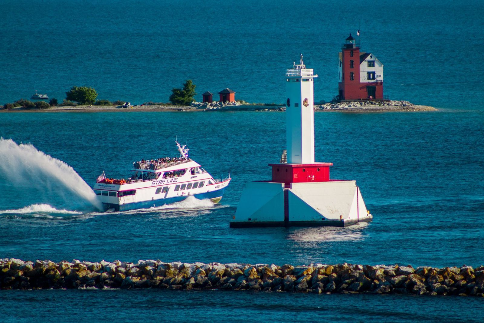
On Michigan’s Mackinac Island, where cars aren’t allowed, all building supplies arrive by boat. Large cargo boats must bring raw materials and heavy machines before the harbor water freezes into thick ice and stops boat deliveries until spring.
Prices begin to drop
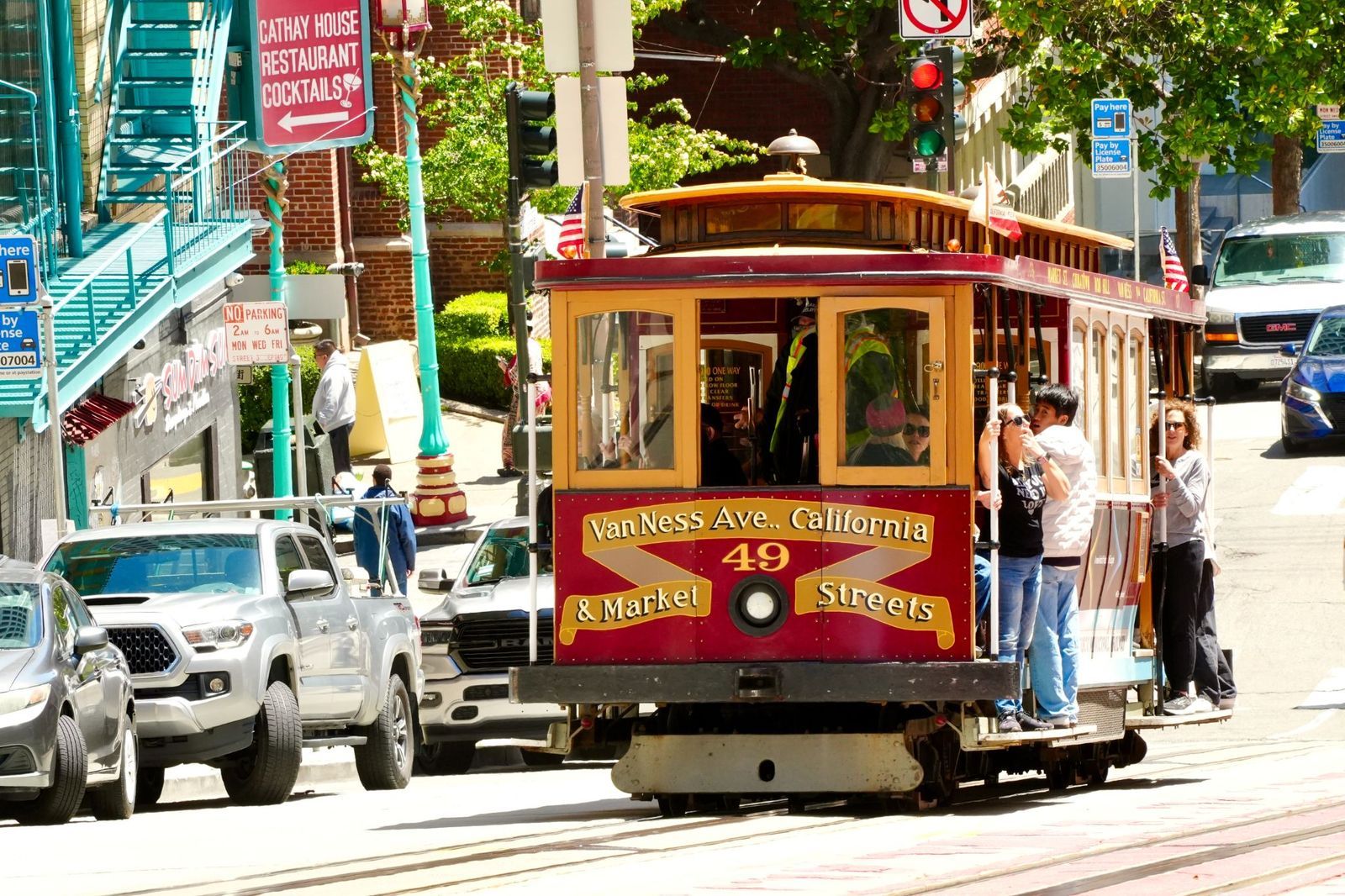
When fall arrives, high summer prices drop. This is an opportunity for travelers on a tight budget to stay for a few days. Parking booths at the beaches close, so anyone can park for free and walk by the water. Local boats and restaurants also offer discounts. But low seasons are often cooler and rainy.
On Cape Cod, spring and fall are usually good times to find cheaper rooms. Mackinac Island also offers hotel and store sales in October, just before many businesses close for winter.
Residents reclaim the streets
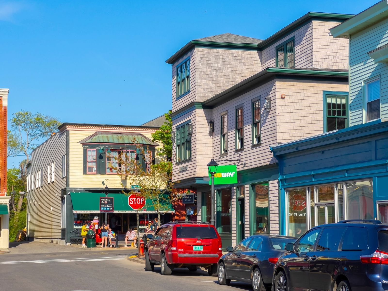
For residents, the real chance to relax comes during the off-season. Neighbors have more opportunities to spend time together and recover a sense of local identity. Locals enjoy their downtown again without planning everything around the tourist rush. Traffic finally dissipates, the sidewalks and parks are emptier, prices go down, and simple errands no longer take twice as long.
A different kind of tourism arrives
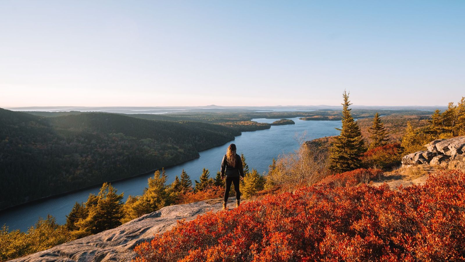
Some towns don’t close down; they just reinvent themselves. Bar Harbor, Maine, is a clear example.
When snow covers nearby Acadia National Park, ski lovers and adventurers take over. Visitors go to Eagle Lake to ice fish and climb on frozen rock walls. Birdwatchers and photographers come looking for cold-weather animals like eiders and long-tailed ducks. Some days, snowy owls may even appear out on the rocky ridges.
Seasonal hotels close their doors
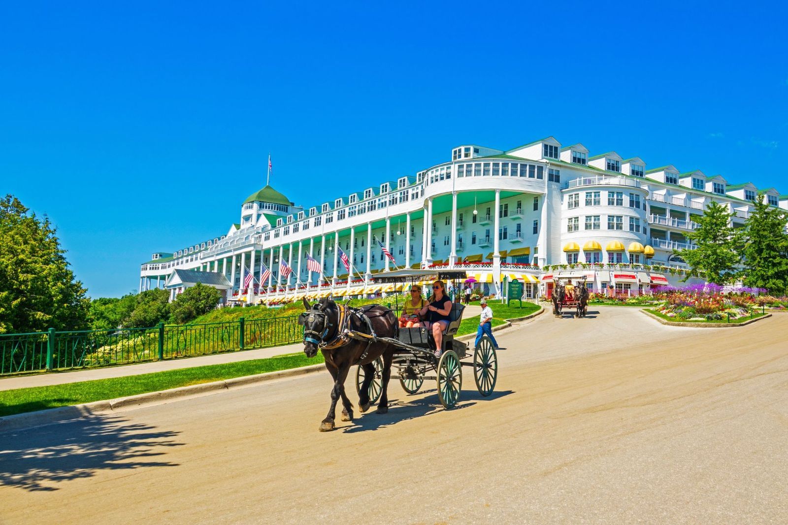
Many hotels decide to close their doors when high season ends. Although some visitors may be interested year-round, if there aren’t enough, keeping a large property fully staffed doesn’t make much sense. It’s also the perfect time to handle repairs without disturbing guests.
The Grand Hotel on Mackinac Island welcomes its final guests in late October and then closes for the winter. Meanwhile, maintenance crews repaint rooms and take care of the old building. Only a few places remain open, so winter visitors should always check before planning a stay.
Restaurants pare down
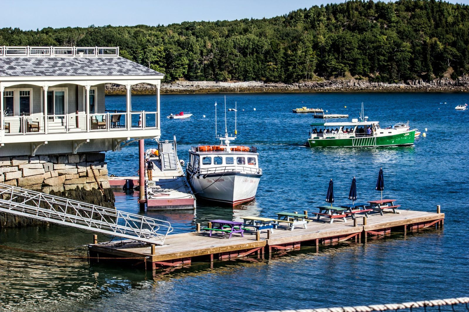
When the crowds disappear, restaurants have to find ways to make their busiest-season earnings last. That money often covers year-round costs like rent and insurance. Owners may shorten shifts or close for a few extra days each week to spend less. Many kitchens also offer smaller menus and provide discounts or affordable comfort-food menus to local customers. Others rent out their dining rooms for private parties and weddings; catering can provide another revenue stream.
In Bar Harbor, a seafood restaurant full of tourists in August may open for only a few hours during winter. Some places are open year-round, but the choices are more limited. On Mackinac Island, most restaurants close for the winter.
Wildlife returns to quieter areas
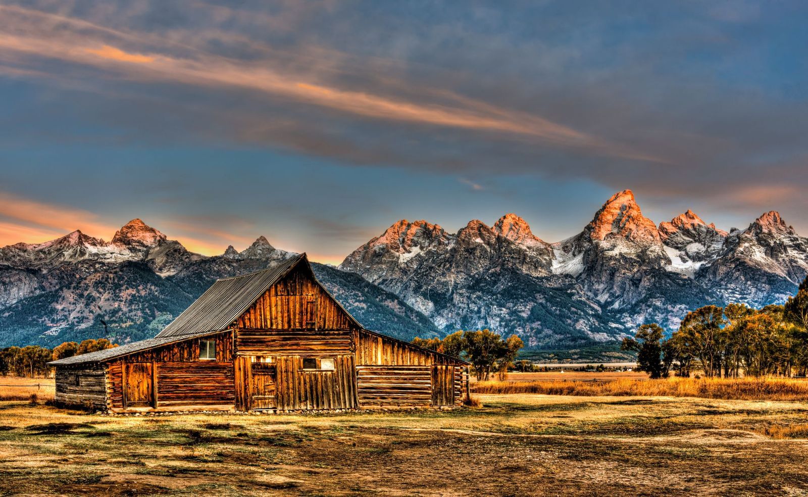
With fewer cars and people around, animals return to areas they usually avoid. As low seasons are sometimes caused by rainy periods, trampled vegetation has time to recover. Illegal hunting also increases when fewer people frequent the area.
This seasonal change is easy to spot in Jackson Hole. The Wyoming valley serves as a gateway to Grand Teton and Yellowstone National Parks. Warmer months are visitors' favorites, but when winter arrives, native elk move down from the mountains in search of food and gather near the area’s National Elk Refuge.
Seasonal workers leave town
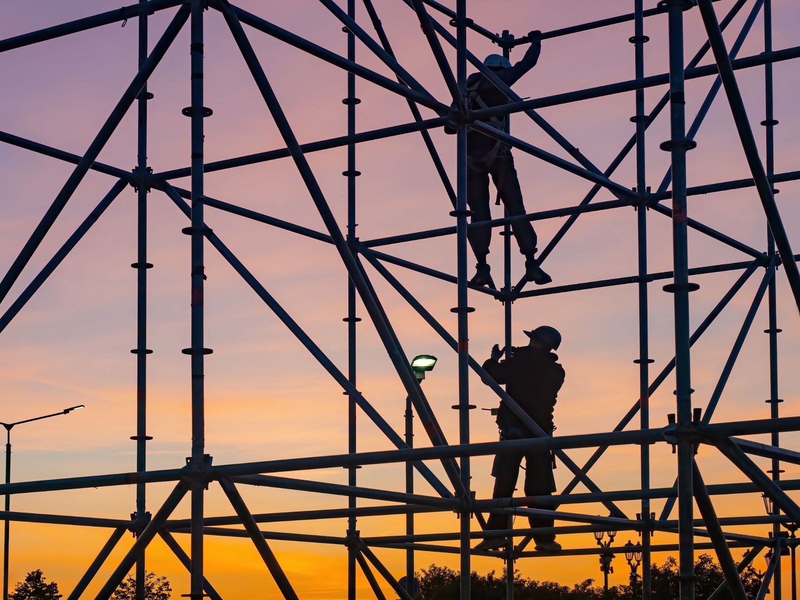
Seasonal workers like lifeguards, bartenders, and hotel or resort staff suddenly face fewer hours or no job at all. Some live on savings or unemployment benefits until the next season begins. Others pick up work in retail or construction. For employees hired through seasonal visa programs, the end of the contract often means it is time to head home.
But not every business lets its seasonal team go; sometimes employers use these quiet months for training. This way, experienced employees can keep working, and owners don’t have to build a whole new team when tourists come back.
The beach chairs disappear
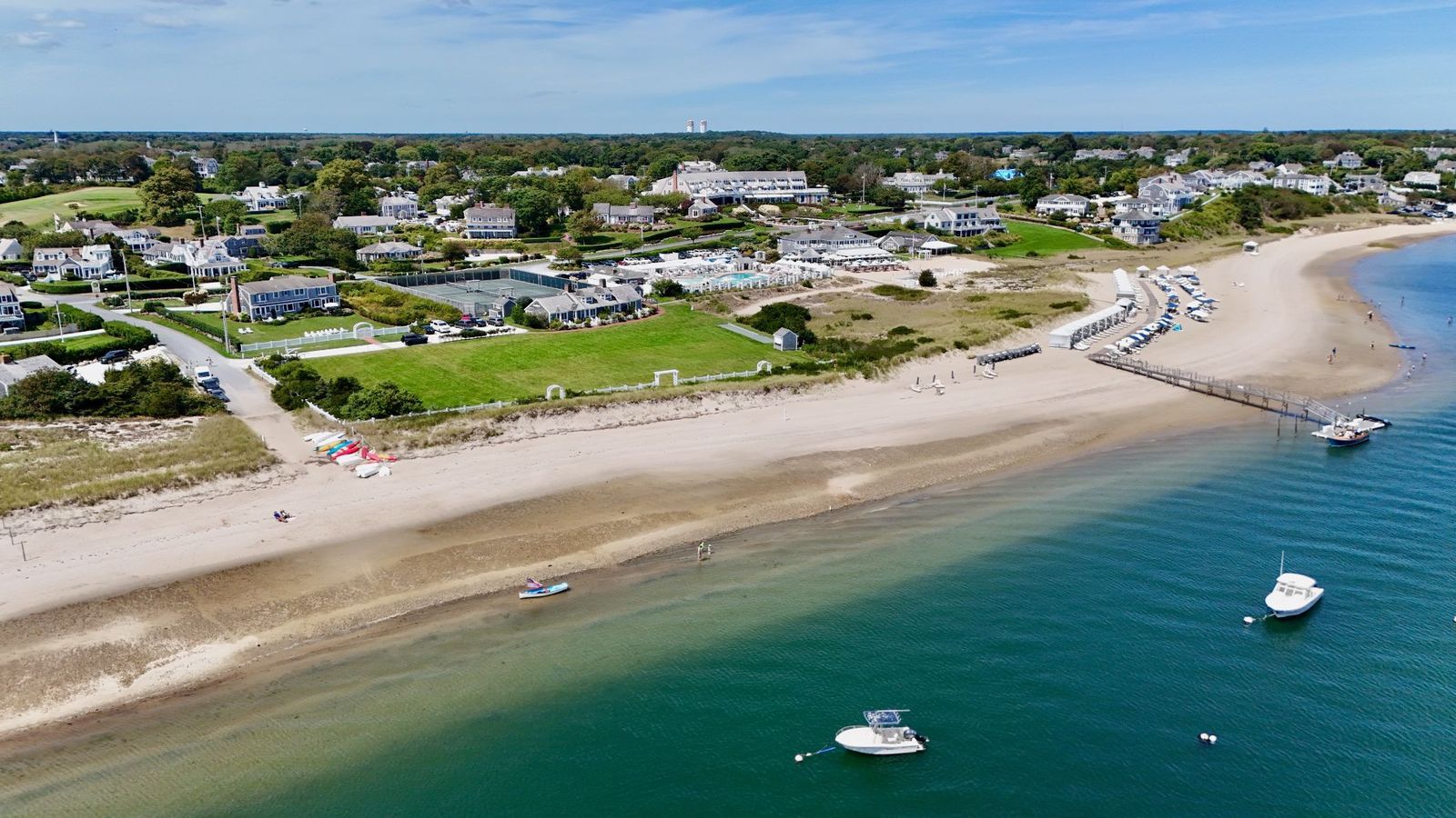
Beach chairs and umbrellas are such a familiar part of a summer vacation that we barely notice them. When the season ends, rental stands pack everything away. Once they’re gone, coastlines look almost unrecognizable. Lifeguard posts are empty, and some beach facilities close until the next summer.
Many Cape Cod beaches stay open, but the experience is completely different. There may be no lifeguards around, and fewer nearby services are available**.** At Acadia’s Sand Beach, water monitoring and visitor facilities are also seasonal. The shoreline suddenly looks wider and more natural. It's still beautiful, but visitors will find stores closed and should check current conditions before going.
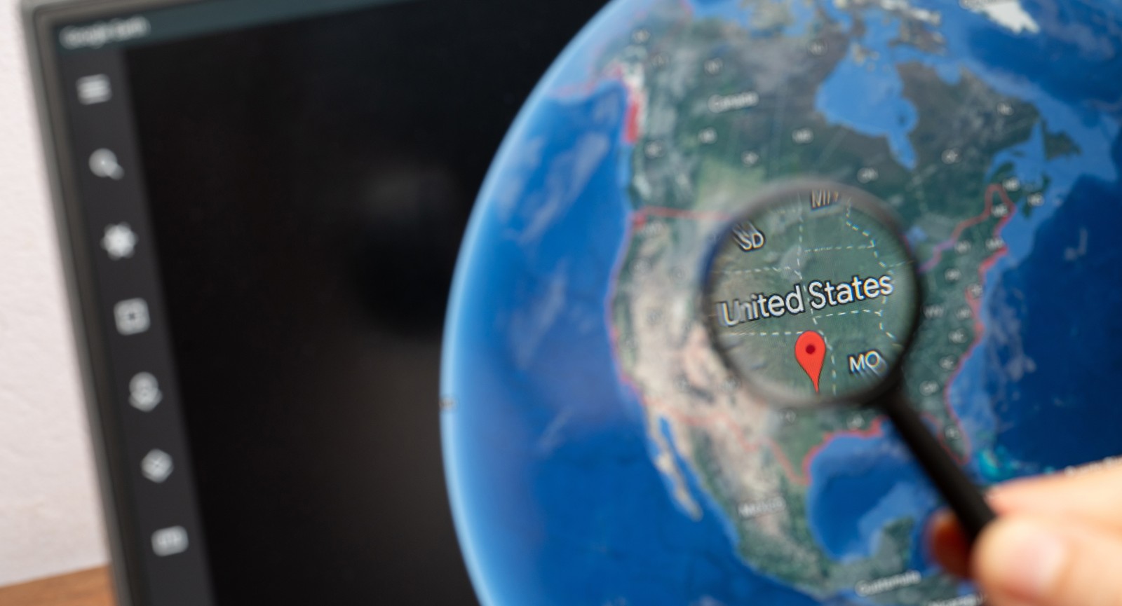
Google Earth is so much more than a map: these features are game-changers
 Geography
Spin the world with your mouse
Google Earth can be a lot of fun: explore the world with these 12 tips
If you’ve used Google Earth at all, chances are high you’ve just searched for a view of your house. But Google Earth is so much more than that. It’s packed with amazing features that let you explore every corner of the globe. You can walk streets 12 time zones away, fly on an airplane, dive into the oceans, or look up at the skies with a level of precision that was unimaginable just a few years ago. Take a look at the following 12 tips and prepare to be blown away.
Travel back in time with historical imagery
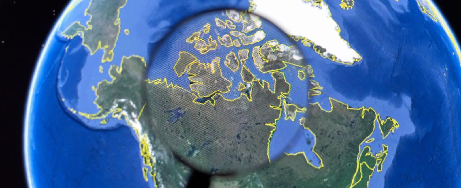
Ever wondered what your hometown looked like 20 years ago? Google Earth's Historical Imagery feature lets you compare older satellite and aerial photos with current ones, revealing how cities, forests, coastlines, and even glaciers have changed over time. In some places, the available imagery stretches back to the mid-20th century, offering an incredible visual record of the past.
Available on Google Earth Pro (the desktop version), the feature is easy to use: search for a location, click the clock-shaped Historical Imagery button, and move the timeline slider through the available years. It's a fascinating way to watch neighborhoods grow, rivers shift, airports expand, and famous landmarks gradually take shape.
Use time-lapse to watch decades in seconds
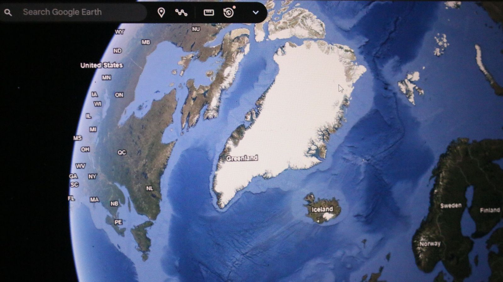
If still images aren't enough, Google Earth's Timelapse feature compresses nearly four decades of planetary change into smooth animated sequences. Created from more than 24 million satellite images collected by NASA, the USGS Landsat program, and the European Copernicus satellites, it allows users to witness years of transformation in just moments.
The results can be astonishing. You can watch Dubai emerge from the desert, Las Vegas spread across Nevada, glaciers retreat in Alaska, or sections of the Amazon rainforest gradually disappear. Besides being visually captivating, Timelapse has become an important educational tool for understanding climate change and urban development.
Explore the world in 3D
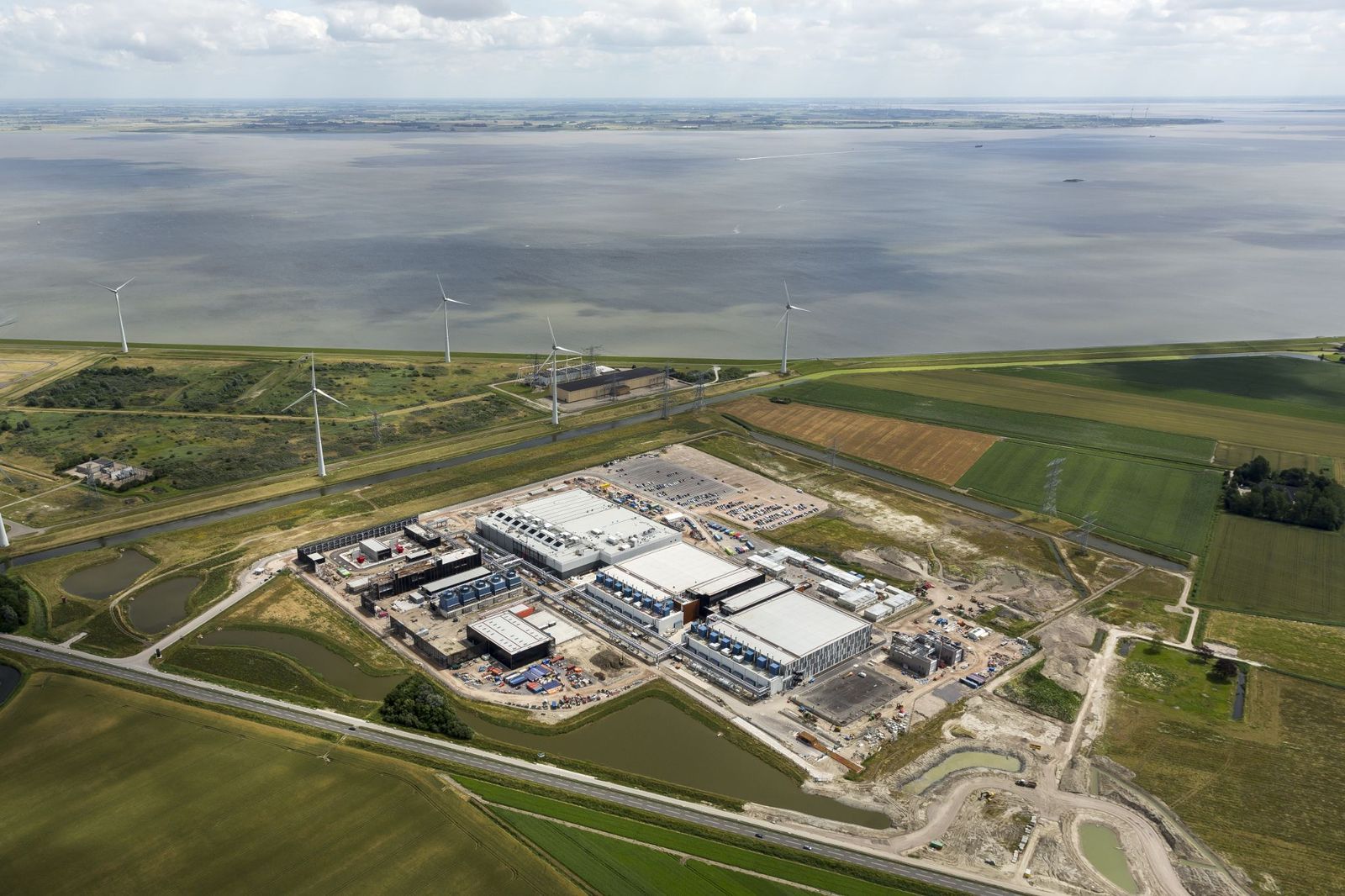
Flat maps are useful, but Google Earth's photorealistic 3D mode makes exploring feel far more immersive. Using advanced aerial photography and photogrammetry, the platform recreates buildings, bridges, cliffs, mountains, and entire city skylines that users can tilt, rotate, and fly around from almost any perspective.
Major cities like New York, Paris, Tokyo, and Sydney look especially spectacular in 3D, while natural landmarks such as the Grand Canyon, Yosemite National Park, and Mount Everest become even more dramatic when viewed from different angles. It often feels closer to taking a helicopter tour than simply browsing a map.
Drop into Street View from space
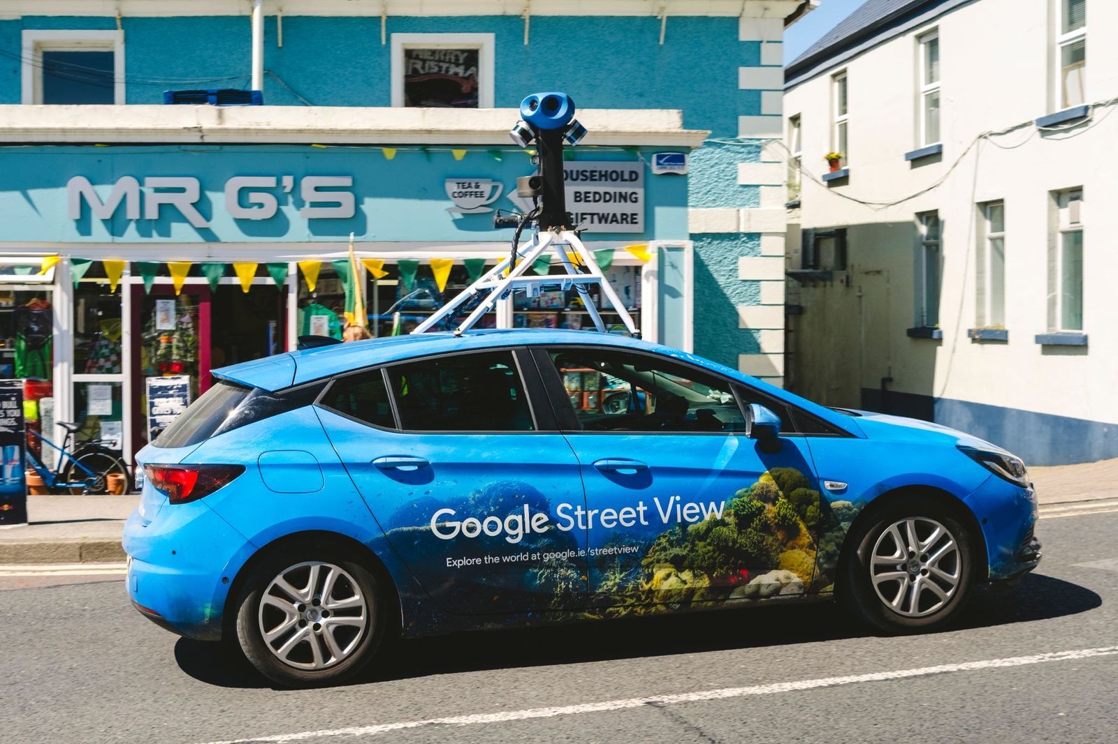
One of Google Earth's most enjoyable and well-known tricks is seamlessly switching from a satellite view to standing on the ground. After locating almost any city or landmark from space, simply drag the Street View Pegman onto a highlighted road to instantly explore the area at eye level.
This combination makes it easy to preview hotels, neighborhoods, hiking trailheads, or famous attractions before traveling. Street View also covers many parks, museums, university campuses, and UNESCO World Heritage Sites, allowing users to enjoy surprisingly realistic virtual walks in destinations across the globe.
Let the "I’m Feeling Lucky" button choose your destination
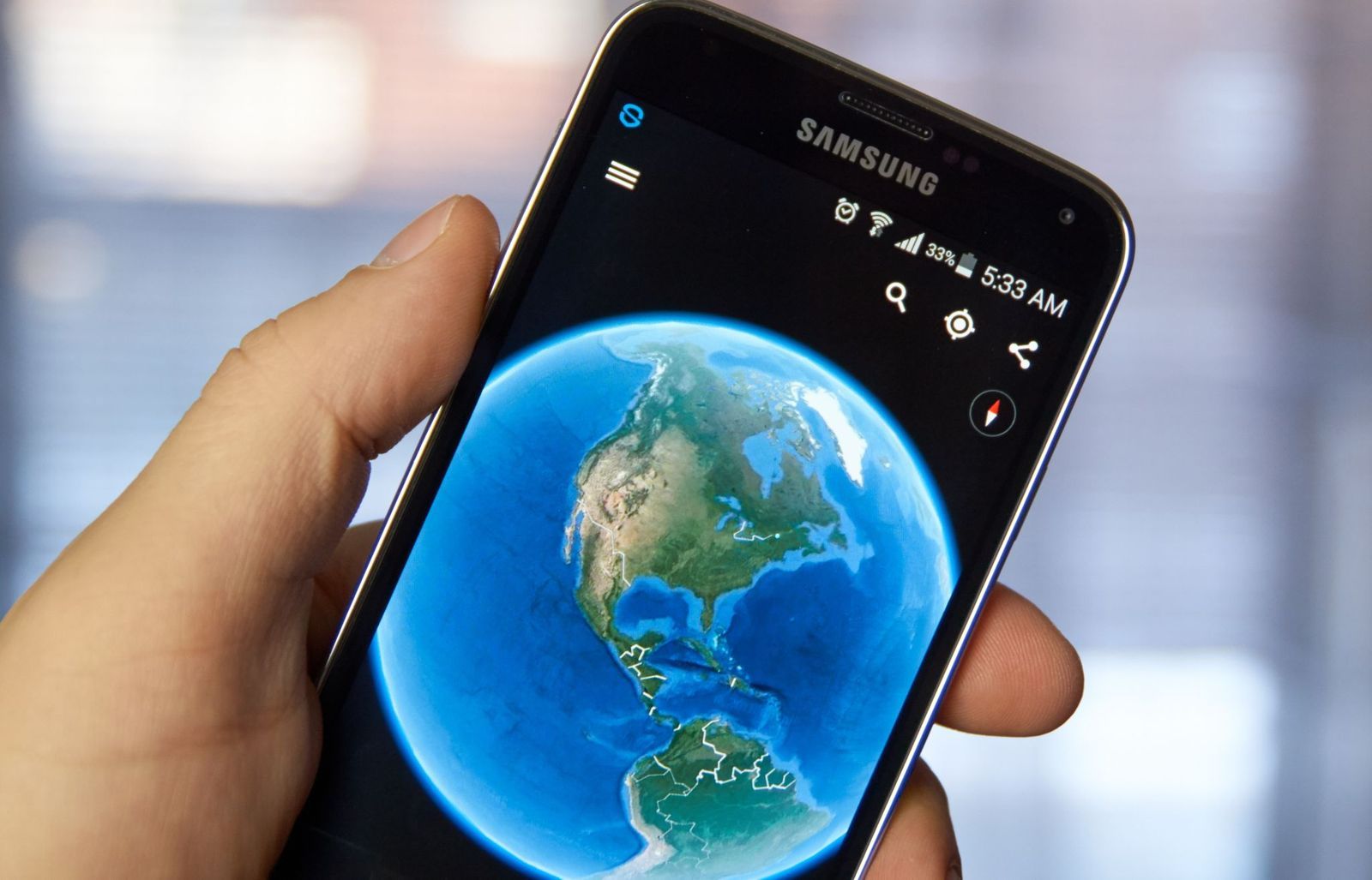
Can't decide where to explore? Google Earth's dice-shaped "I'm Feeling Lucky" button solves that by teleporting you to a randomly selected destination anywhere on the planet. Along with the new location, you'll see a brief description explaining what makes it interesting, turning every click into a miniature geography lesson.
One moment you might be admiring a volcanic island in the Pacific, and the next you're soaring above an ancient castle, a colorful salt lake, or a remote desert. It's a fun way to discover remarkable places that rarely appear on typical travel itineraries, and a great cure for virtual wanderlust.
Take guided journeys with Voyager

Google Earth's Voyager feature replaces aimless browsing with expertly curated adventures. Working with organizations such as NASA, National Geographic, BBC Earth, and the Jane Goodall Institute, Google has created interactive tours that combine maps, photos, videos, narration, and fascinating stories from around the world.
The topics are incredibly diverse, covering wildlife migrations, Indigenous cultures, famous architecture, marine ecosystems, climate science, and world history. Instead of simply looking at places, Voyager helps explain why they matter, making every virtual journey both entertaining and educational.
Measure distances like a real explorer
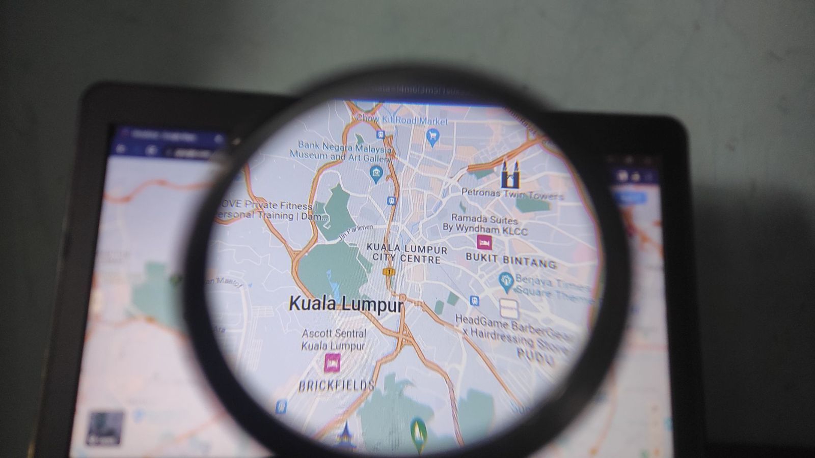
Ever wondered how far a hiking trail stretches or how long a famous bridge really is? Google Earth's Measure tool lets you calculate precise distances between points almost anywhere on the globe, making it useful for travelers, hikers, cyclists, photographers, and anyone planning an outdoor adventure.
Measurements can be displayed in miles, kilometers, meters, feet, or even nautical miles. Whether you're tracing a scenic coastline, estimating the length of a mountain trek, or comparing the size of two famous roads, the tool offers surprisingly accurate results with just a few clicks.
Calculate the size of lakes, parks, and islands
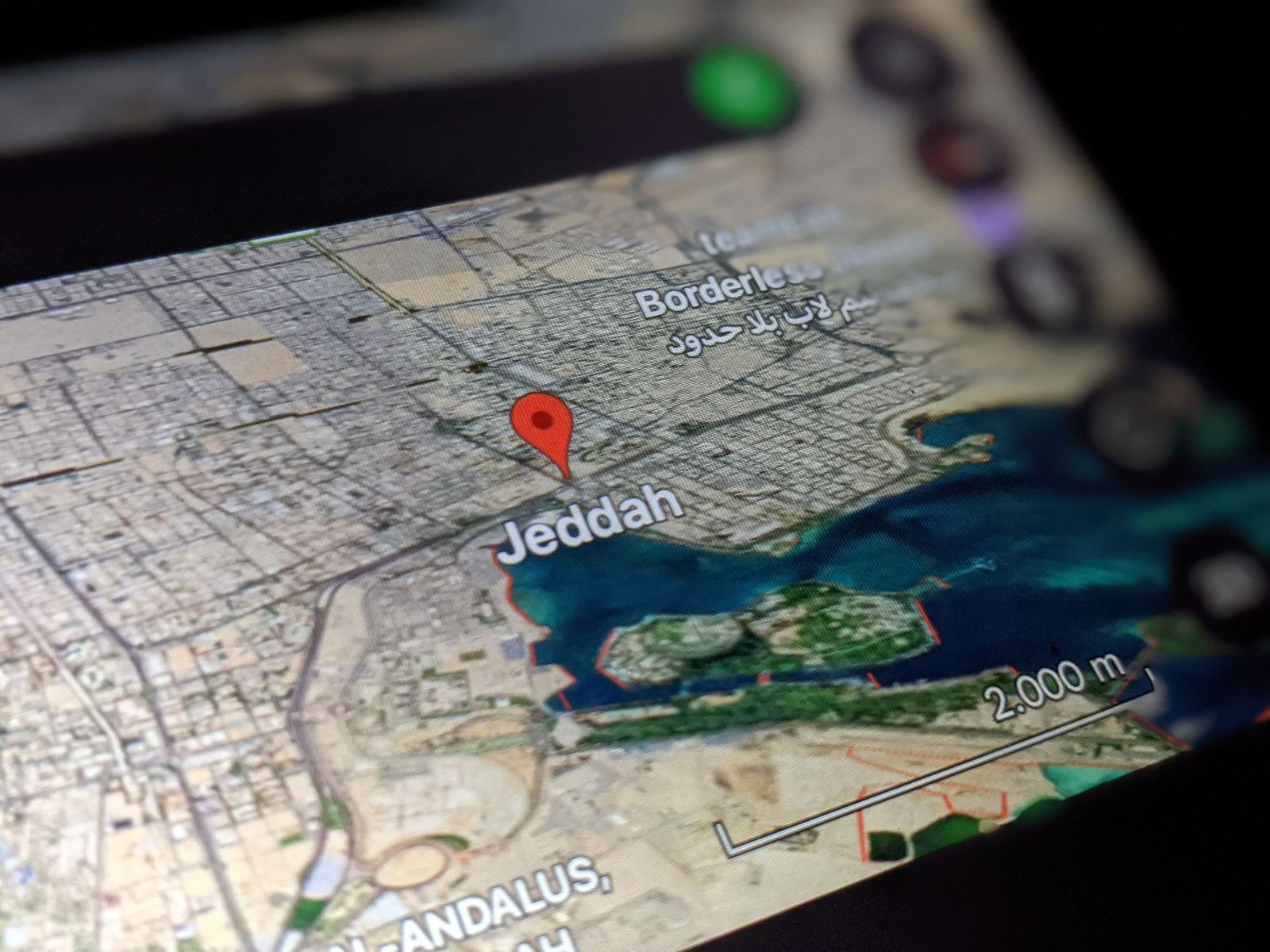
The Measure tool can also calculate area, making it easy to discover just how large natural and man-made places really are. By drawing a simple outline around a lake, island, forest, neighborhood, or city park, Google Earth estimates its total surface with impressive accuracy.
It's a surprisingly addictive feature for curious travelers. You can compare the size of famous parks, estimate the footprint of sports stadiums, measure tropical islands, or see how your hometown stacks up against cities around the world—all without needing any specialized mapping experience.
Build your own travel projects
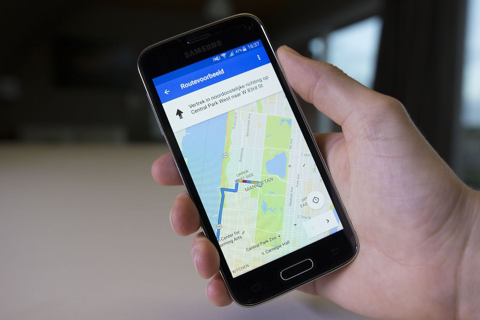
Google Earth isn't just for exploring—it's also a surprisingly useful planning tool. Its Projects feature allows you to create personalized interactive maps filled with saved destinations, notes, photos, videos, custom routes, and highlighted areas, all organized in one convenient place.
Whether you're planning a cross-country road trip, mapping out a dream vacation, or creating a walking tour of your favorite city, Projects help keep everything together. You can even store them in Google Drive and share them with family, friends, or fellow travelers for collaborative trip planning.
Explore the ocean floor
Most people use Google Earth to explore continents, which makes a lot of sense. But the platform also lets you venture beneath the waves. Introduced as part of Google Ocean, this feature combines scientific bathymetric data with satellite imagery to reveal underwater mountain ranges, deep-sea trenches, submarine volcanoes, and vast continental shelves. Click View in the top menu bar, then click Water Surface to turn it on.
You’ll also find information about coral reefs, marine protected areas, and regions known for famous shipwrecks. Although much of Earth’s oceans remain only partially mapped, this feature offers an incredible glimpse into landscapes that few people ever get to see in person.
See the night sky with Sky Mode
Google Earth doesn’t stop at our planet. Sky Mode transforms the familiar globe into a digital observatory, allowing users to explore constellations, galaxies, nebulae, planets, and breathtaking images captured by the Hubble Space Telescope from the comfort of their home.
Developed with assistance from the Space Telescope Science Institute, the feature includes educational overlays that identify celestial objects and explain what you’re seeing. It’s a newer, interactive way to learn basic astronomy.
Use the Flight feature to soar through cities and landmarks

One of Google’s newest additions is its Flight experience, which replaces abrupt jumps between locations with smooth, cinematic flyovers. Instead of instantly appearing at your destination, you glide naturally across mountains, coastlines, skylines, and famous landmarks, creating a much more immersive sense of travel.
The feature shines when exploring 3D cities or mountainous areas. The fluid motion makes virtual sightseeing feel remarkably close to riding in a helicopter or piloting a drone above some of the world’s most spectacular places.
Keep wandering
There’s always
more to explore
 General
This mysterious monument is 6,000 years older than Stonehenge
5 min.
Read Now
Why did San Antonio move an entire hotel through downtown?
6 min.
Read Now

10 sneaky secrets restaurant staff won't tell you
4 min.
Read Now
He spent a week in Vegas without gambling. What did he do?
5 min.
Read Now