
The construction mistake that made this tower famous
 Landmarks
More than meets the eye
The construction mistake that made this tower famous
We all recognize the Statue of Liberty, the Eiffel Tower, Mount Rushmore, and the Grand Canyon. But what makes these places especially interesting is not just what they look like but the stories behind them. Some began with very different purposes, some changed over time, and others have unusual details built into their history. From landmarks that were never meant to last to famous sites shaped by nature, this collection takes a closer look at the history, design, and unexpected details behind some of the world’s most recognizable places. Whether you’ve visited them yourself or simply know them from photographs, these stories offer a fresh look at familiar sights.
The Statue of Liberty wasn’t always green
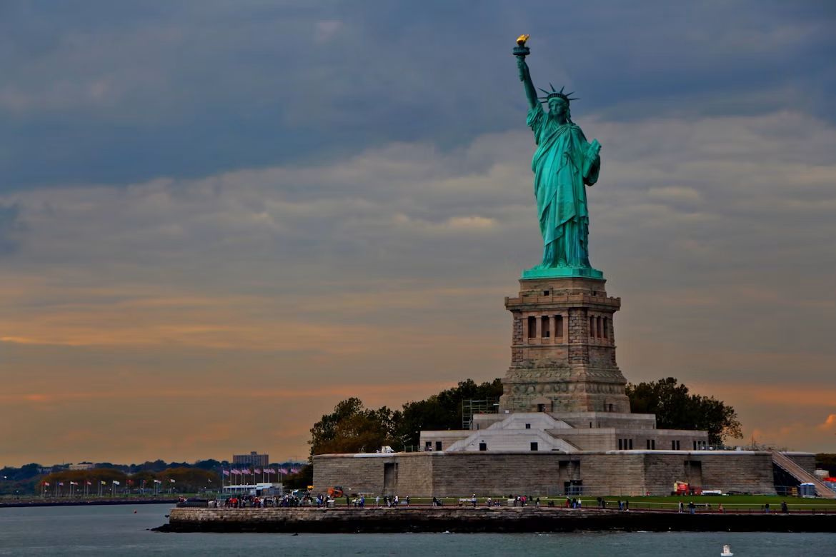
Today, the Statue of Liberty is instantly recognizable for its blue-green color. But when the famous monument was unveiled in 1886, it looked quite different. Its outer surface was made of copper, giving Lady Liberty a warm, brownish color similar to a new penny.
Over the years, the copper naturally reacted with the air and moisture, gradually developing a green coating called a patina. The transformation took about 30 years, eventually giving the statue the appearance Americans know today. The green layer also helps protect the copper underneath.
The Hollywood Sign
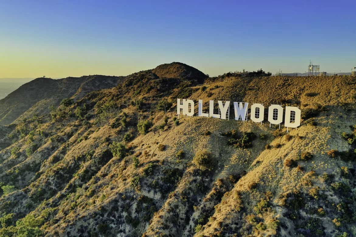
The Hollywood Sign is one of the most famous symbols of the American entertainment industry. But it wasn't created to promote movies or Hollywood's growing reputation as a filmmaking capital. When it first appeared in 1923, it actually read "Hollywoodland."
The sign was an advertisement for a new housing development in the Hollywood Hills. The original "LAND" was eventually removed, leaving the shorter name we know today. Over time, the sign became closely associated with the film and television industry and transformed into a symbol of Hollywood itself.
Mount Rushmore has a hidden room
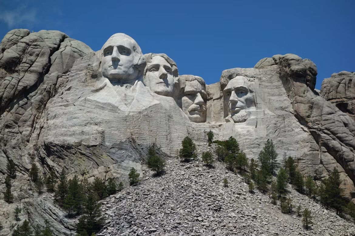
Mount Rushmore has a secret of its own: a chamber hidden behind the famous presidential sculptures. Sculptor Gutzon Borglum envisioned a place called the Hall of Records, where important documents and information about American history could be preserved for future generations.
The ambitious room was never completed as planned. Work stopped in 1939, leaving a rough-cut chamber and tunnel inside the mountain. In 1998, a repository containing porcelain panels depicting the history of Mount Rushmore and the United States was installed at the entrance. The area remains inaccessible to visitors.
The Eiffel Tower was meant to be temporary
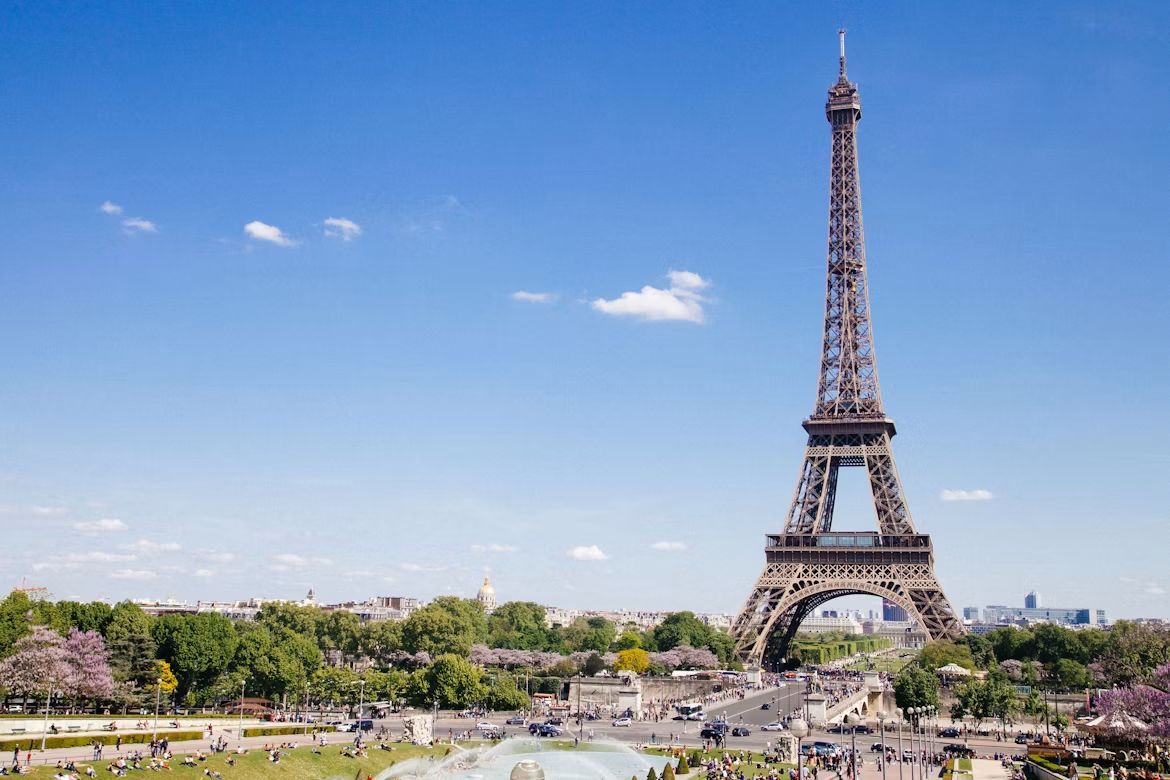
It is hard to imagine Paris without the Eiffel Tower, but the famous landmark was never supposed to stay there forever. Gustave Eiffel's tower was built for the 1889 World's Fair and was originally intended to stand for only about 20 years.
So why is it still there? One important reason was technology. The tower proved useful for radio communications, giving it a practical purpose beyond its original role as an attraction. What began as a temporary exhibition structure eventually became one of the world's most recognizable landmarks.
The Grand Canyon wasn’t created by a single event
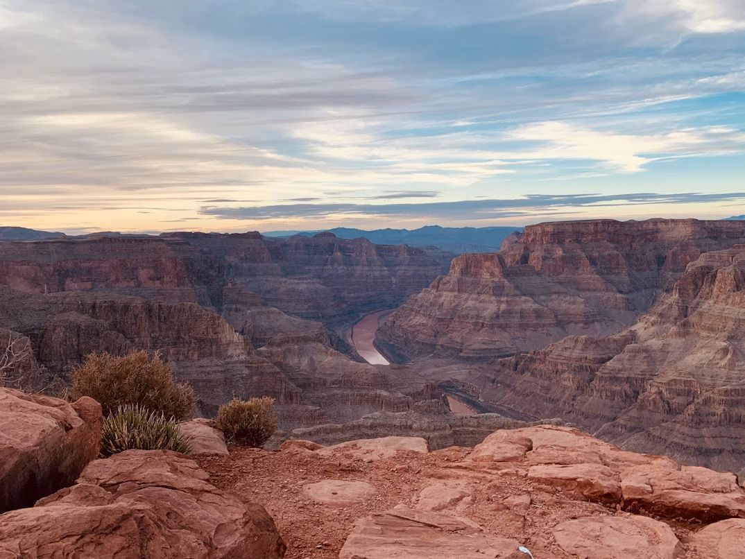
The Grand Canyon may look as though some enormous force simply carved a giant slice through the landscape, but its story is much slower. The canyon developed over millions of years through erosion and other geological processes, with the Colorado River playing a major role in shaping it.
Its enormous walls also reveal layers of Earth's geological history. As the river and other forces gradually wore away the landscape, they exposed rocks formed over vastly different periods. That is part of what makes the Grand Canyon not just a spectacular view, but also a remarkable record of the planet's past.
The White House has more rooms than you might expect

Most Americans can picture the Oval Office, but the White House is much more than a single famous office and a handful of ceremonial rooms. The residence contains 132 rooms, 35 bathrooms, and six levels, along with hundreds of doors and windows.
The building also has eight staircases and three elevators, and its kitchen can prepare dinner for up to 140 guests. In other words, the White House is closer to a small complex than the simple mansion many people imagine when they hear the name.
The Empire State Building has its own ZIP code
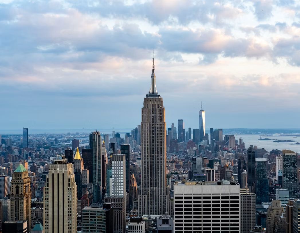
The Empire State Building is not only a famous New York landmark but also home to many businesses. With more than 2.8 million rentable square feet, the building functions almost like a small city within the city.
That is one reason it has its own ZIP code: 10118. The building's enormous size and large number of businesses make the dedicated postal designation particularly fitting. And there's another surprising fact about the skyscraper: its antenna is struck by lightning an average of about 25 times a year.
Niagara Falls has nearly frozen over
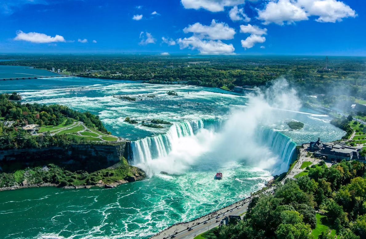
Niagara Falls is famous for its powerful, nonstop flow of water, so seeing it surrounded by ice can seem almost impossible. During periods of extreme winter weather, however, thick ice can form around the falls and along the Niagara River, creating a spectacular frozen-looking landscape.
The falls do not normally freeze completely solid. The enormous amount of water continuing to move through the falls makes a total freeze extremely unlikely. Still, ice can build up along the edges and surrounding areas, sometimes making Niagara Falls look like a winter wonderland.
Why the Golden Gate Bridge isn’t gold
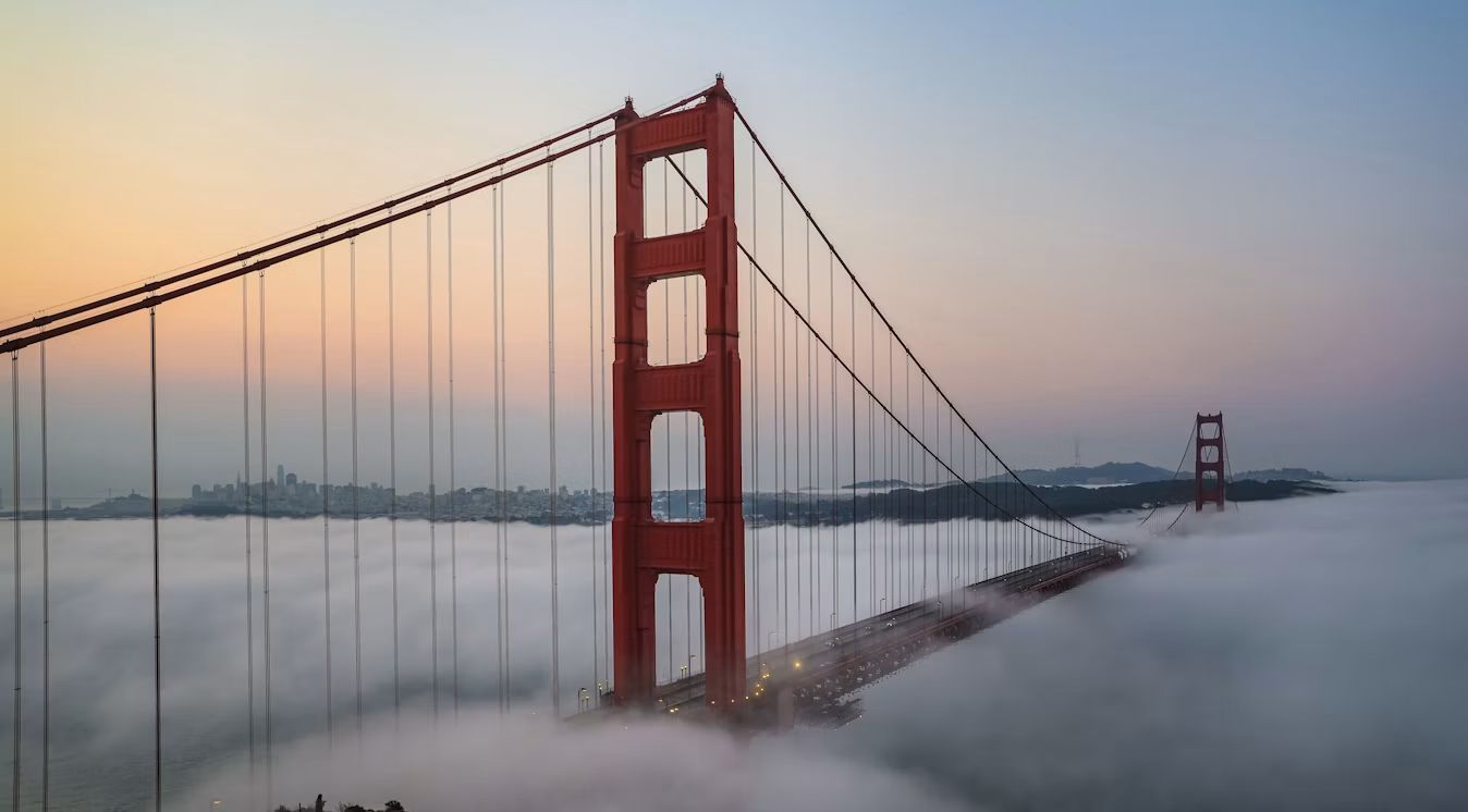
Despite its name, the Golden Gate Bridge isn't gold, and its famous color isn't an accident. The bridge is painted International Orange, a warm reddish-orange shade chosen in part because it works well with the surrounding landscape and helps the bridge remain visible in San Francisco's frequent fog.
The color also gives the bridge its unmistakable appearance against the blue of the sky and water. It has become such an important part of the landmark's identity that it's difficult to imagine the Golden Gate Bridge in a conventional gray or metallic finish.
The Hollywood Walk of Fame is bigger than you think
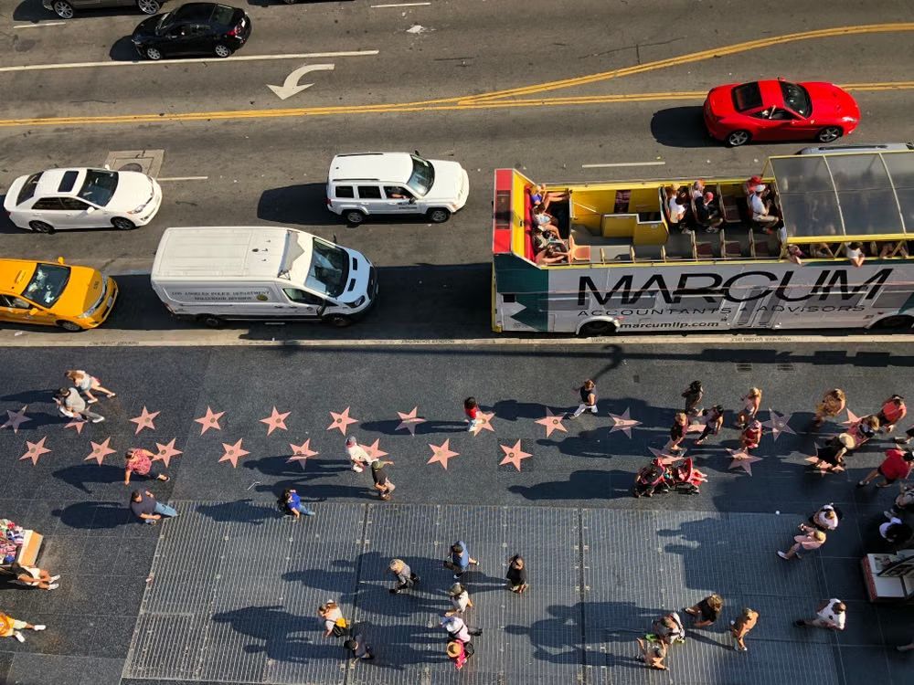
The Hollywood Walk of Fame stretches for about 18 blocks along Hollywood Boulevard and Vine Street, making it far more extensive than it may appear in photographs. Its famous stars honor people from several areas of entertainment rather than just movie stars.
The Walk of Fame currently recognizes achievements in motion pictures, television, recording, live theater/live performance, radio, and sports entertainment. New stars continue to be added each year, meaning this famous Los Angeles landmark is still growing and changing.
The Leaning Tower of Pisa started leaning during construction
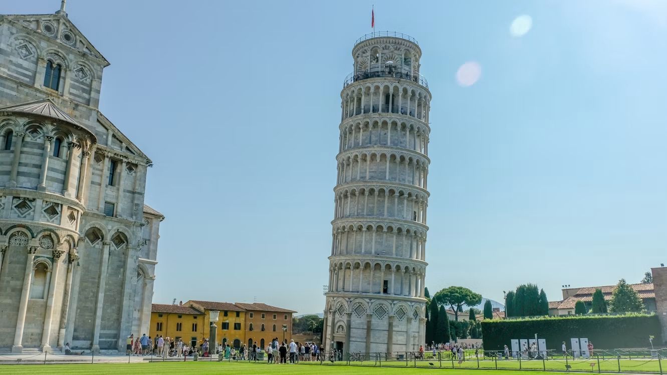
The Leaning Tower of Pisa didn't become tilted centuries after it was completed. The problem began while the tower was still being built in the 12th century. Its foundation was relatively shallow, while the ground beneath it was too soft and unstable to support the massive structure evenly.
As construction continued, one side of the tower began to sink more than the other. Builders tried to compensate as they added more floors, which helped create the distinctive curved appearance of the tower. What began as a serious construction problem eventually became the feature that made the tower world-famous.
Google Earth is so much more than a map: these features are game-changers
 Geography
Spin the world with your mouse
Google Earth can be a lot of fun: explore the world with these 12 tips
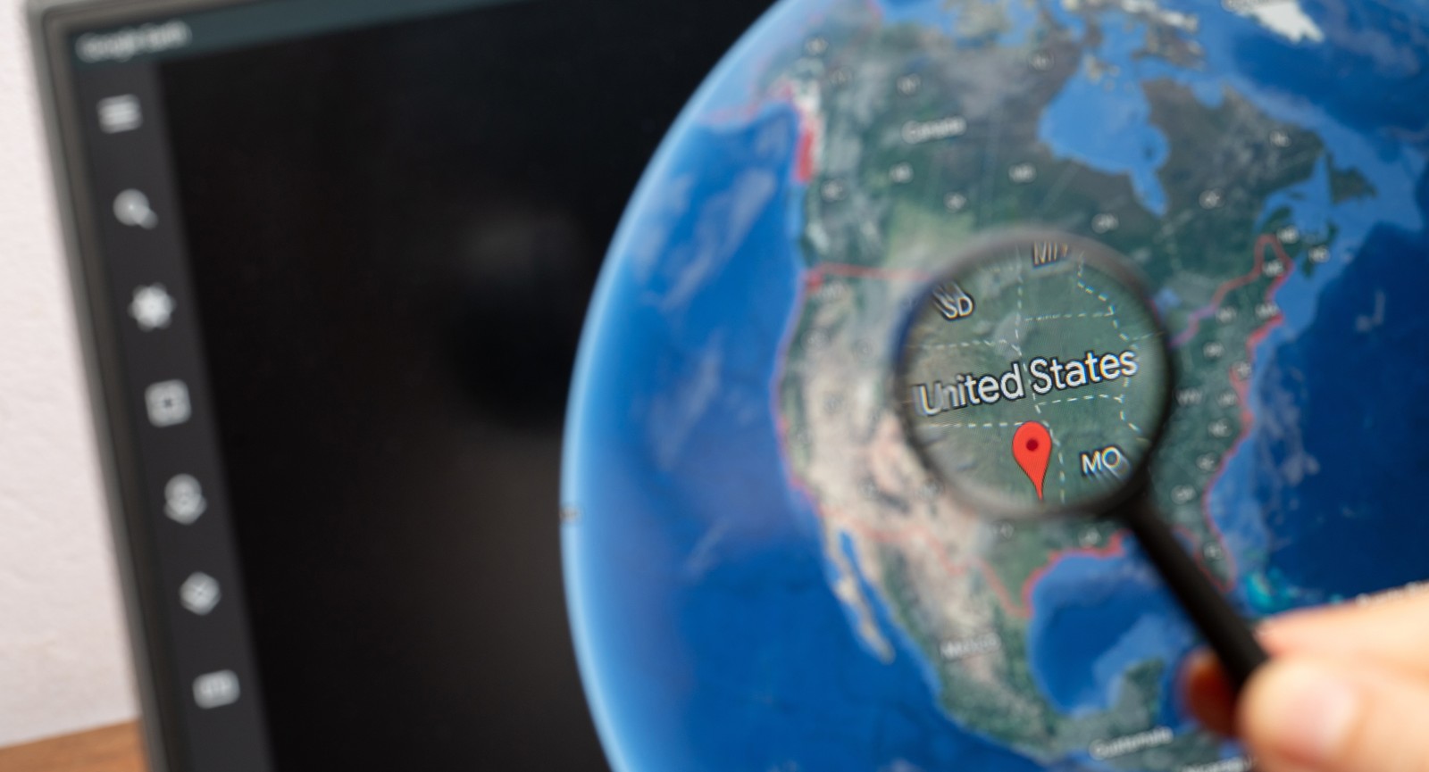
If you’ve used Google Earth at all, chances are high you’ve just searched for a view of your house. But Google Earth is so much more than that. It’s packed with amazing features that let you explore every corner of the globe. You can walk streets 12 time zones away, fly on an airplane, dive into the oceans, or look up at the skies with a level of precision that was unimaginable just a few years ago. Take a look at the following 12 tips and prepare to be blown away.
Travel back in time with historical imagery
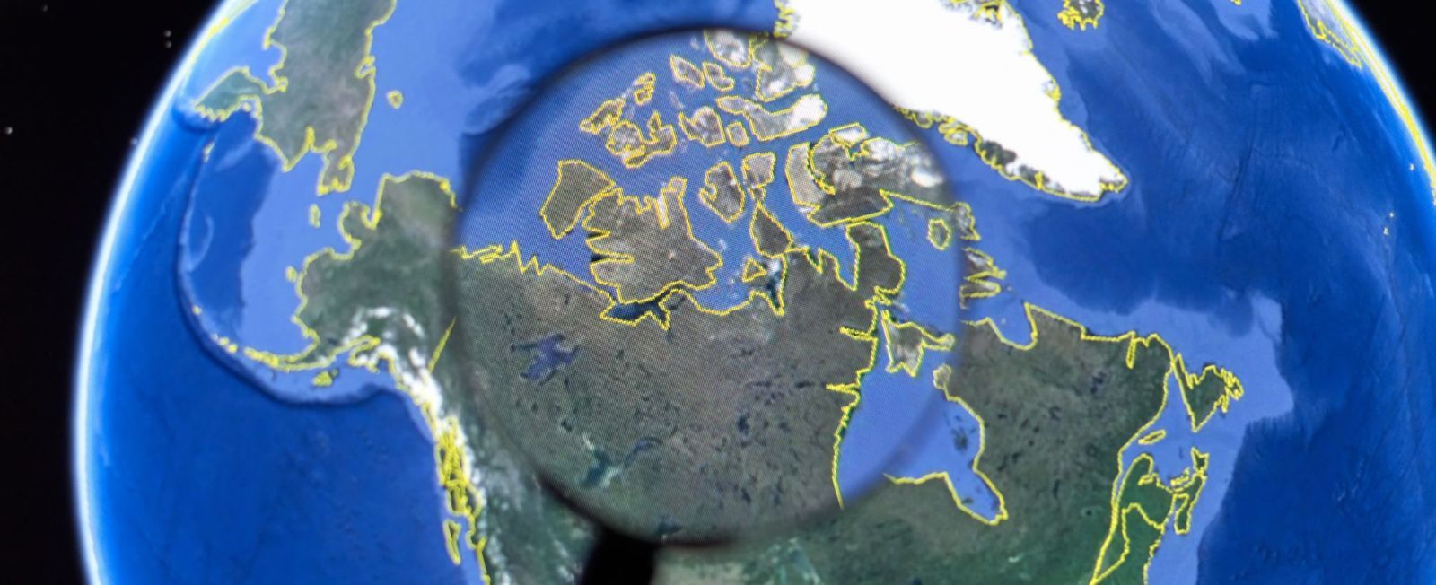
Ever wondered what your hometown looked like 20 years ago? Google Earth's Historical Imagery feature lets you compare older satellite and aerial photos with current ones, revealing how cities, forests, coastlines, and even glaciers have changed over time. In some places, the available imagery stretches back to the mid-20th century, offering an incredible visual record of the past.
Available on Google Earth Pro (the desktop version), the feature is easy to use: search for a location, click the clock-shaped Historical Imagery button, and move the timeline slider through the available years. It's a fascinating way to watch neighborhoods grow, rivers shift, airports expand, and famous landmarks gradually take shape.
Use time-lapse to watch decades in seconds
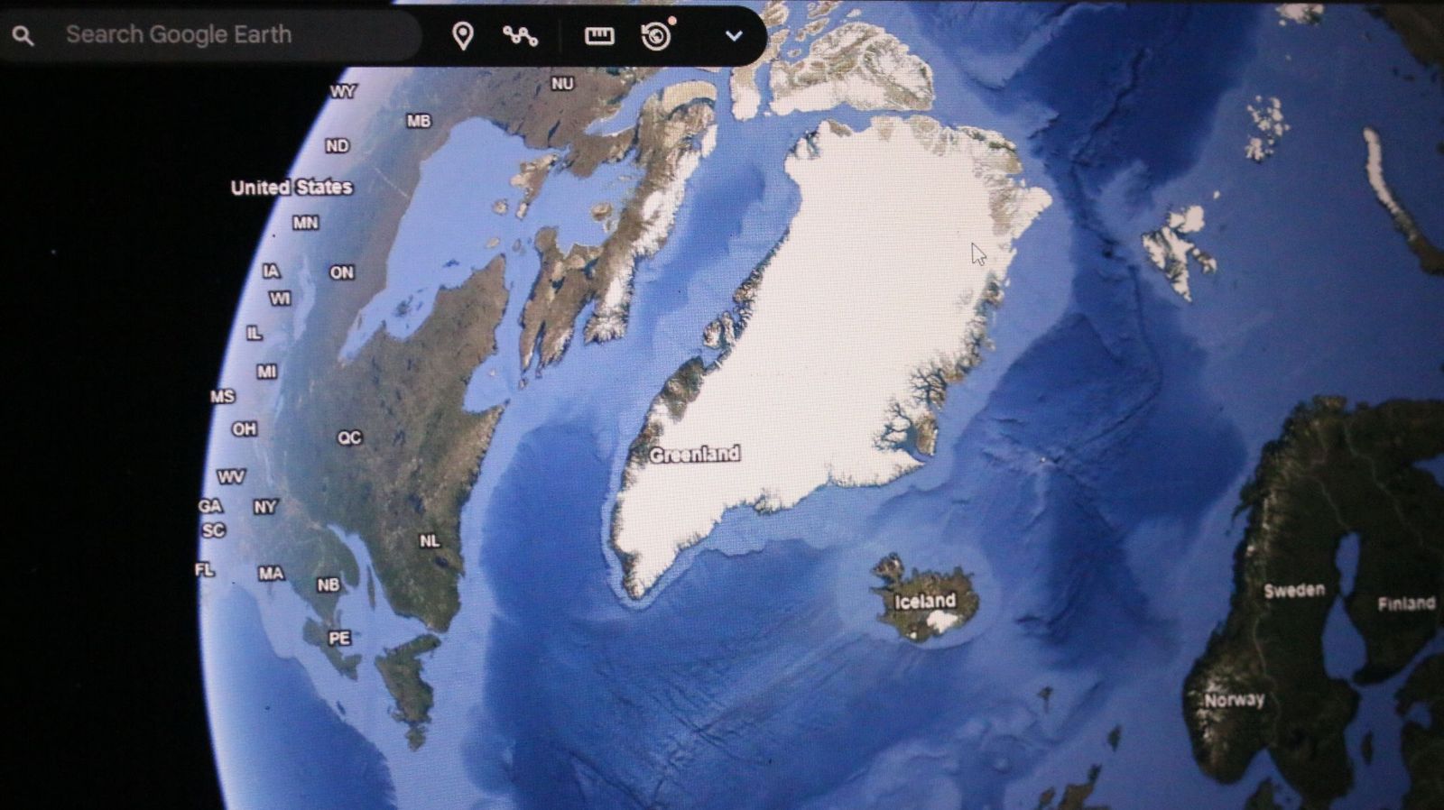
If still images aren't enough, Google Earth's Timelapse feature compresses nearly four decades of planetary change into smooth animated sequences. Created from more than 24 million satellite images collected by NASA, the USGS Landsat program, and the European Copernicus satellites, it allows users to witness years of transformation in just moments.
The results can be astonishing. You can watch Dubai emerge from the desert, Las Vegas spread across Nevada, glaciers retreat in Alaska, or sections of the Amazon rainforest gradually disappear. Besides being visually captivating, Timelapse has become an important educational tool for understanding climate change and urban development.
Explore the world in 3D

Flat maps are useful, but Google Earth's photorealistic 3D mode makes exploring feel far more immersive. Using advanced aerial photography and photogrammetry, the platform recreates buildings, bridges, cliffs, mountains, and entire city skylines that users can tilt, rotate, and fly around from almost any perspective.
Major cities like New York, Paris, Tokyo, and Sydney look especially spectacular in 3D, while natural landmarks such as the Grand Canyon, Yosemite National Park, and Mount Everest become even more dramatic when viewed from different angles. It often feels closer to taking a helicopter tour than simply browsing a map.
Drop into Street View from space
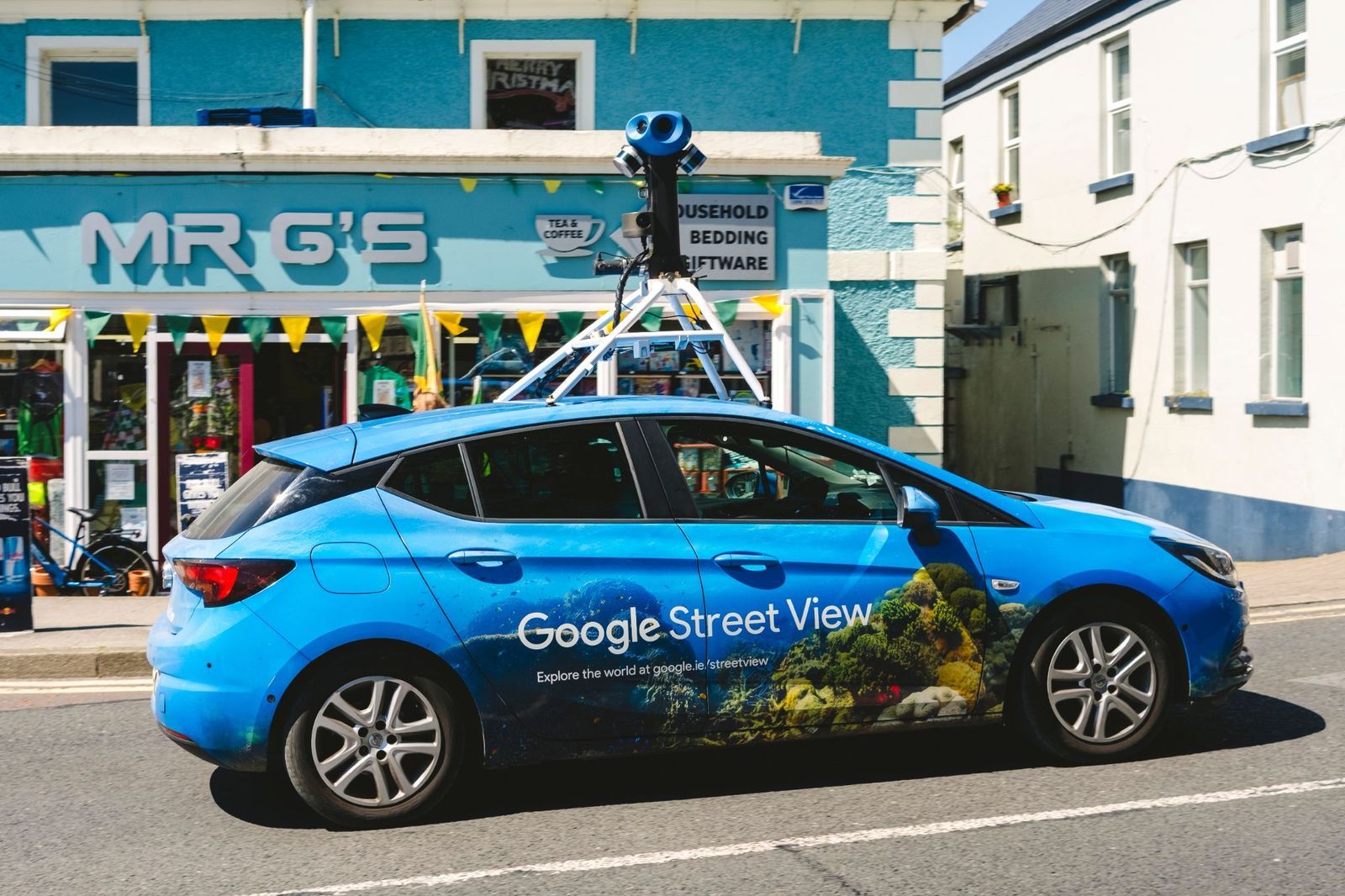
One of Google Earth's most enjoyable and well-known tricks is seamlessly switching from a satellite view to standing on the ground. After locating almost any city or landmark from space, simply drag the Street View Pegman onto a highlighted road to instantly explore the area at eye level.
This combination makes it easy to preview hotels, neighborhoods, hiking trailheads, or famous attractions before traveling. Street View also covers many parks, museums, university campuses, and UNESCO World Heritage Sites, allowing users to enjoy surprisingly realistic virtual walks in destinations across the globe.
Let the "I’m Feeling Lucky" button choose your destination
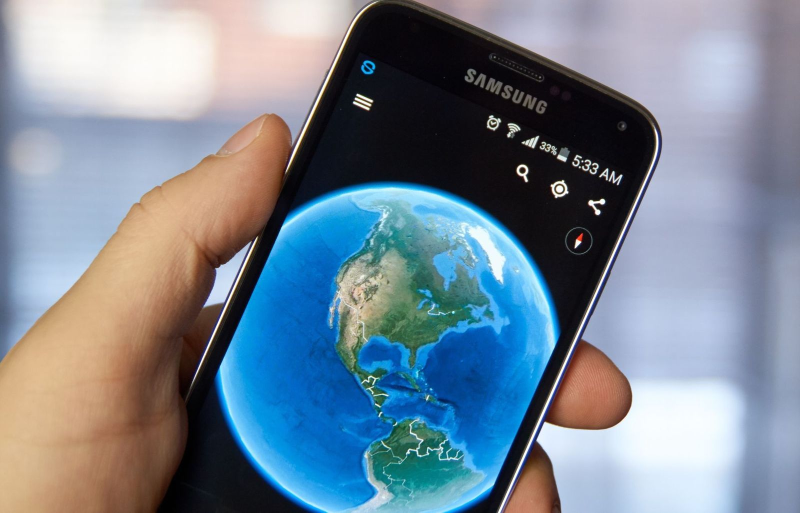
Can't decide where to explore? Google Earth's dice-shaped "I'm Feeling Lucky" button solves that by teleporting you to a randomly selected destination anywhere on the planet. Along with the new location, you'll see a brief description explaining what makes it interesting, turning every click into a miniature geography lesson.
One moment you might be admiring a volcanic island in the Pacific, and the next you're soaring above an ancient castle, a colorful salt lake, or a remote desert. It's a fun way to discover remarkable places that rarely appear on typical travel itineraries, and a great cure for virtual wanderlust.
Take guided journeys with Voyager

Google Earth's Voyager feature replaces aimless browsing with expertly curated adventures. Working with organizations such as NASA, National Geographic, BBC Earth, and the Jane Goodall Institute, Google has created interactive tours that combine maps, photos, videos, narration, and fascinating stories from around the world.
The topics are incredibly diverse, covering wildlife migrations, Indigenous cultures, famous architecture, marine ecosystems, climate science, and world history. Instead of simply looking at places, Voyager helps explain why they matter, making every virtual journey both entertaining and educational.
Measure distances like a real explorer
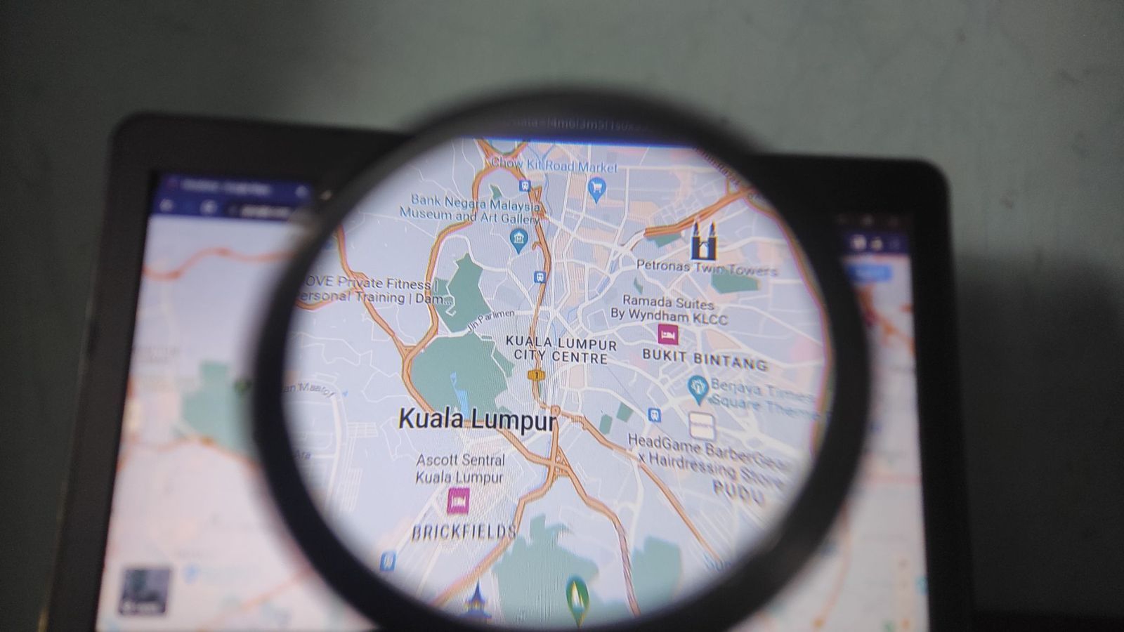
Ever wondered how far a hiking trail stretches or how long a famous bridge really is? Google Earth's Measure tool lets you calculate precise distances between points almost anywhere on the globe, making it useful for travelers, hikers, cyclists, photographers, and anyone planning an outdoor adventure.
Measurements can be displayed in miles, kilometers, meters, feet, or even nautical miles. Whether you're tracing a scenic coastline, estimating the length of a mountain trek, or comparing the size of two famous roads, the tool offers surprisingly accurate results with just a few clicks.
Calculate the size of lakes, parks, and islands
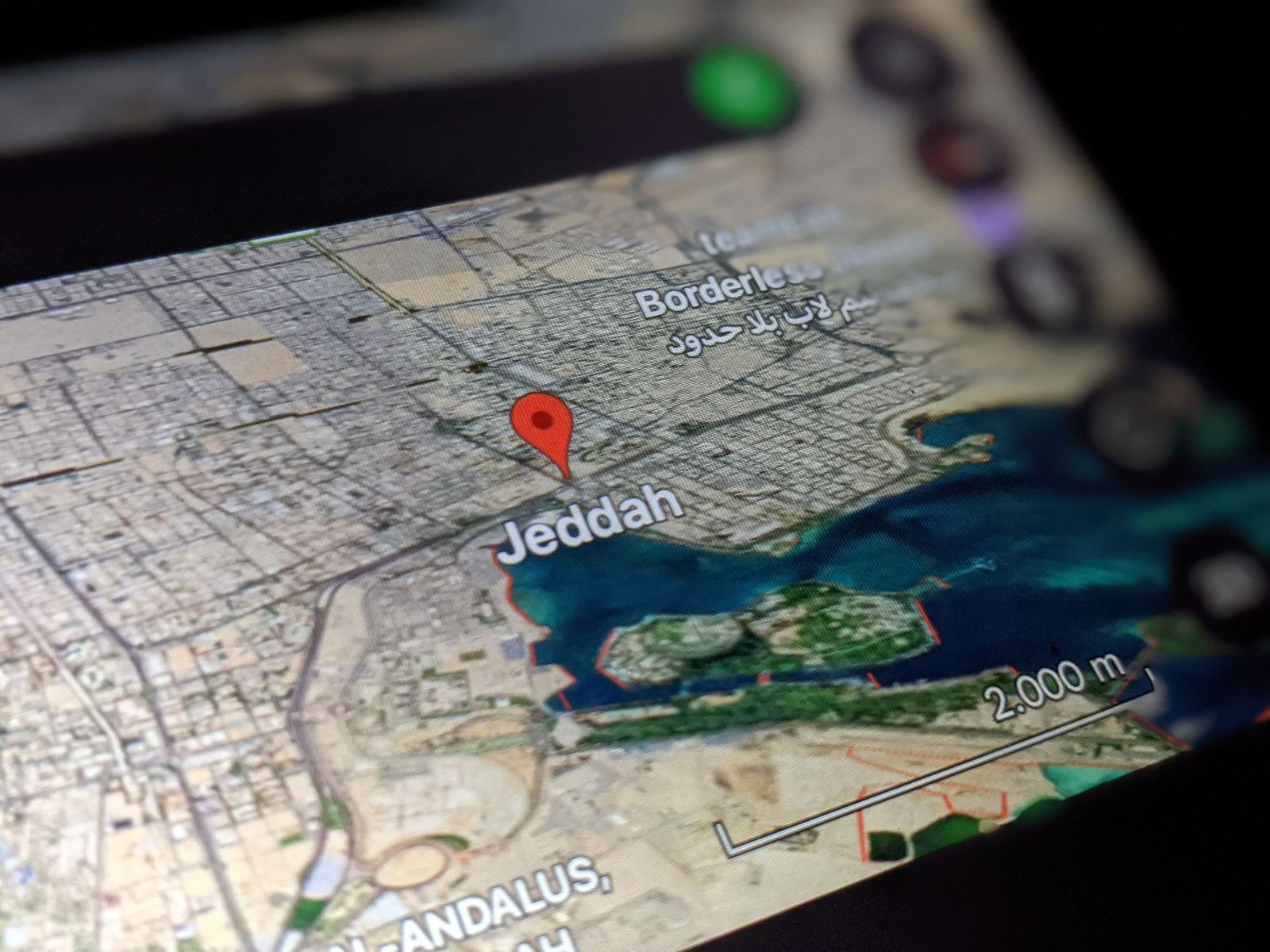
The Measure tool can also calculate area, making it easy to discover just how large natural and man-made places really are. By drawing a simple outline around a lake, island, forest, neighborhood, or city park, Google Earth estimates its total surface with impressive accuracy.
It's a surprisingly addictive feature for curious travelers. You can compare the size of famous parks, estimate the footprint of sports stadiums, measure tropical islands, or see how your hometown stacks up against cities around the world—all without needing any specialized mapping experience.
Build your own travel projects
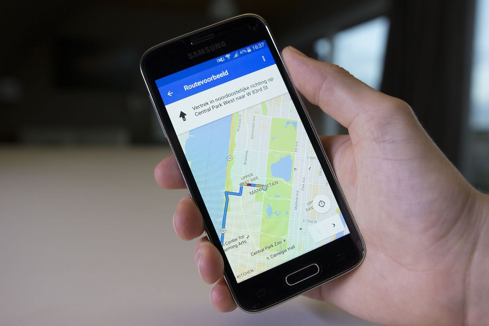
Google Earth isn't just for exploring—it's also a surprisingly useful planning tool. Its Projects feature allows you to create personalized interactive maps filled with saved destinations, notes, photos, videos, custom routes, and highlighted areas, all organized in one convenient place.
Whether you're planning a cross-country road trip, mapping out a dream vacation, or creating a walking tour of your favorite city, Projects help keep everything together. You can even store them in Google Drive and share them with family, friends, or fellow travelers for collaborative trip planning.
Explore the ocean floor
Most people use Google Earth to explore continents, which makes a lot of sense. But the platform also lets you venture beneath the waves. Introduced as part of Google Ocean, this feature combines scientific bathymetric data with satellite imagery to reveal underwater mountain ranges, deep-sea trenches, submarine volcanoes, and vast continental shelves. Click View in the top menu bar, then click Water Surface to turn it on.
You’ll also find information about coral reefs, marine protected areas, and regions known for famous shipwrecks. Although much of Earth’s oceans remain only partially mapped, this feature offers an incredible glimpse into landscapes that few people ever get to see in person.
See the night sky with Sky Mode
Google Earth doesn’t stop at our planet. Sky Mode transforms the familiar globe into a digital observatory, allowing users to explore constellations, galaxies, nebulae, planets, and breathtaking images captured by the Hubble Space Telescope from the comfort of their home.
Developed with assistance from the Space Telescope Science Institute, the feature includes educational overlays that identify celestial objects and explain what you’re seeing. It’s a newer, interactive way to learn basic astronomy.
Use the Flight feature to soar through cities and landmarks

One of Google’s newest additions is its Flight experience, which replaces abrupt jumps between locations with smooth, cinematic flyovers. Instead of instantly appearing at your destination, you glide naturally across mountains, coastlines, skylines, and famous landmarks, creating a much more immersive sense of travel.
The feature shines when exploring 3D cities or mountainous areas. The fluid motion makes virtual sightseeing feel remarkably close to riding in a helicopter or piloting a drone above some of the world’s most spectacular places.
Keep wandering
There’s always
more to explore
 General
This mysterious monument is 6,000 years older than Stonehenge
5 min.
Read Now
Why did San Antonio move an entire hotel through downtown?
6 min.
Read Now

10 sneaky secrets restaurant staff won't tell you
4 min.
Read Now
He spent a week in Vegas without gambling. What did he do?
5 min.
Read Now