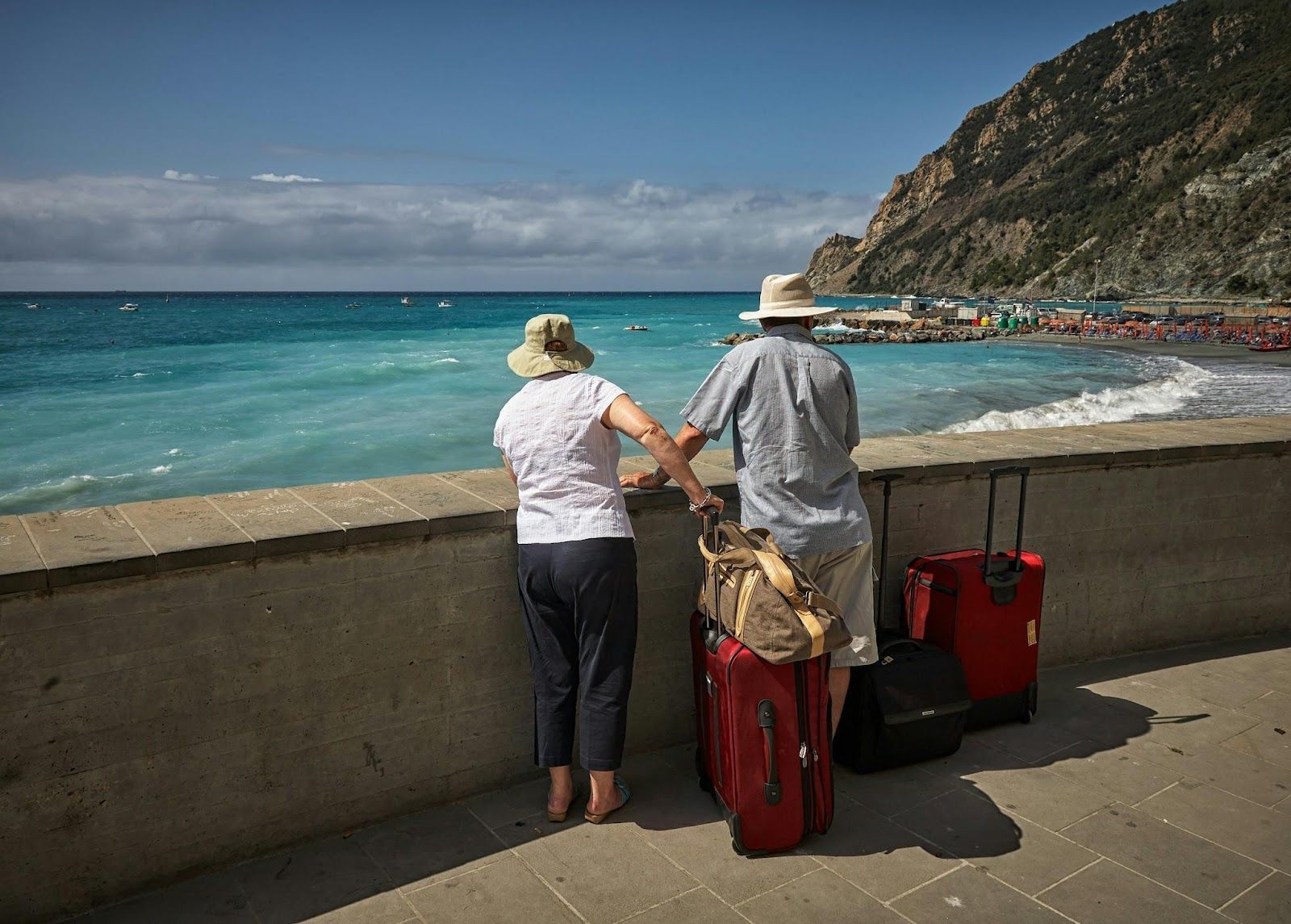
Were you the roadtrip map holder? This is what traveling once looked like
 History
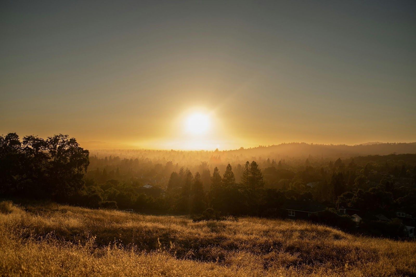
The times before GPS
Were you the roadtrip map holder? This is what traveling once looked like
It seems so easy nowadays. But there was a time when smartphones weren’t available to tell you where to turn, where to eat, where to spend the night, or even whether a storm was coming. Once upon a time, traveling required something else: skill and attention. Let’s take a look at the tools that once helped us get around on successful and unforgettable trips!
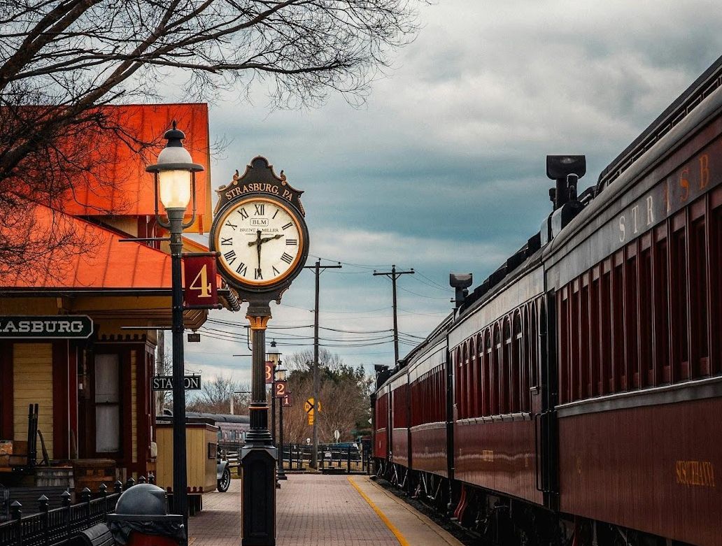
The passenger seat meant "official map holder."
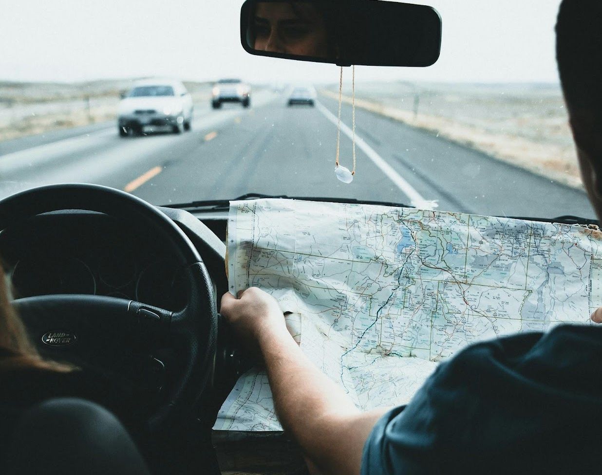
Long before a calm digital voice told us where to turn, navigation meant a giant folded paper map spread across the passenger’s lap. Or the dashboard, or sometimes the steering wheel, which in hindsight feels bold.
These maps required real skill to read while the car was moving. And meant a bit of pressure! Miss a turn, and there was no "recalculating."
Remember AAA TripTiks?
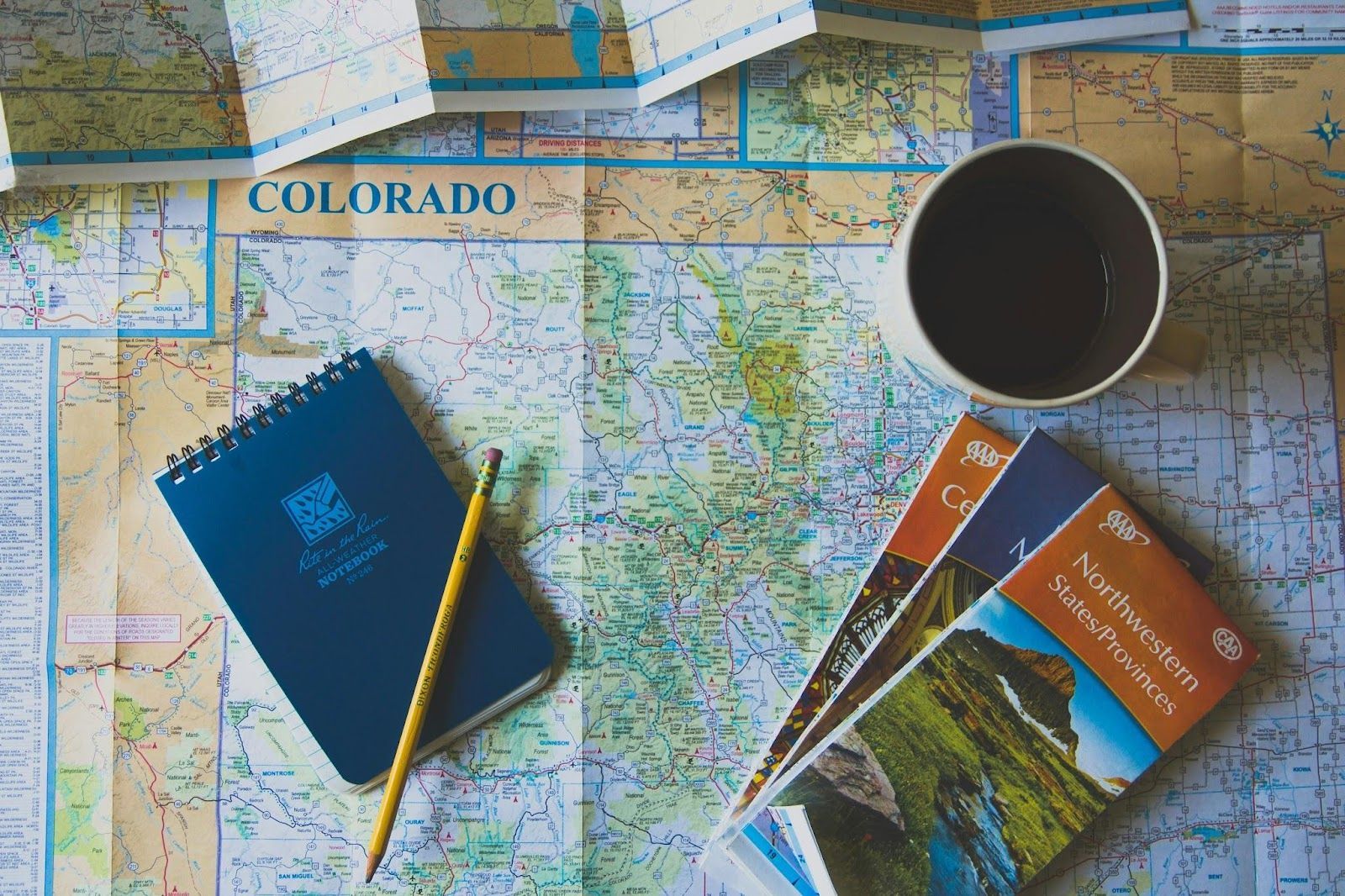
For many American travelers, AAA TripTiks were the gold standard of road travel planning. Or any other custom map packets! These booklets showed you the exact routes, highlighted turns, marked landmarks, and even included useful notes.
Many travelers kept their TripTiks in the glove compartment, dog-eared and scribbled on, sometimes for years.
Asking strangers for directions
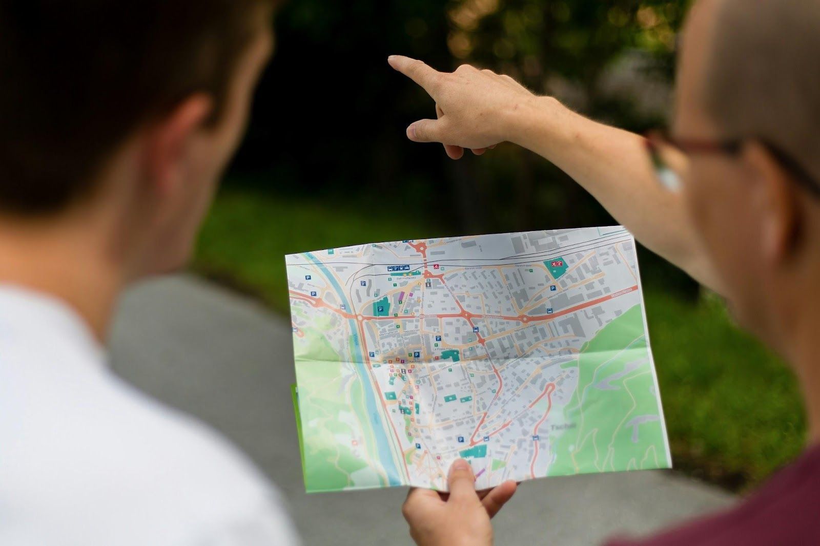
Young people seem reluctant to do it now that all roads are easily accessible on their smartphones. But before GPS made everyone an expert, travelers had to rely on the kindness—and accuracy—of strangers.
Gas station attendants, diner waitresses, shop owners, and random folks leaning against pickup trucks all became unofficial navigation systems.
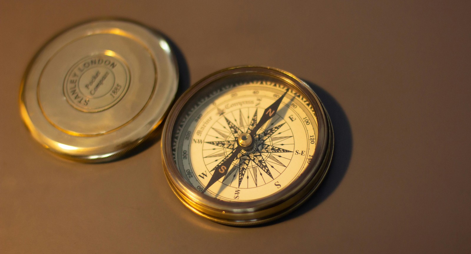
Navigating by landmarks and the sun
Of course, you could always rely on the good old sun for guidance. Mountain ranges, rivers, or even the stars could help, as well. As long as you knew your approximate bearings in relation to a fixed landmark, you could get around. You had to pay attention to the landscape back then.
Taking and trusting handwritten directions
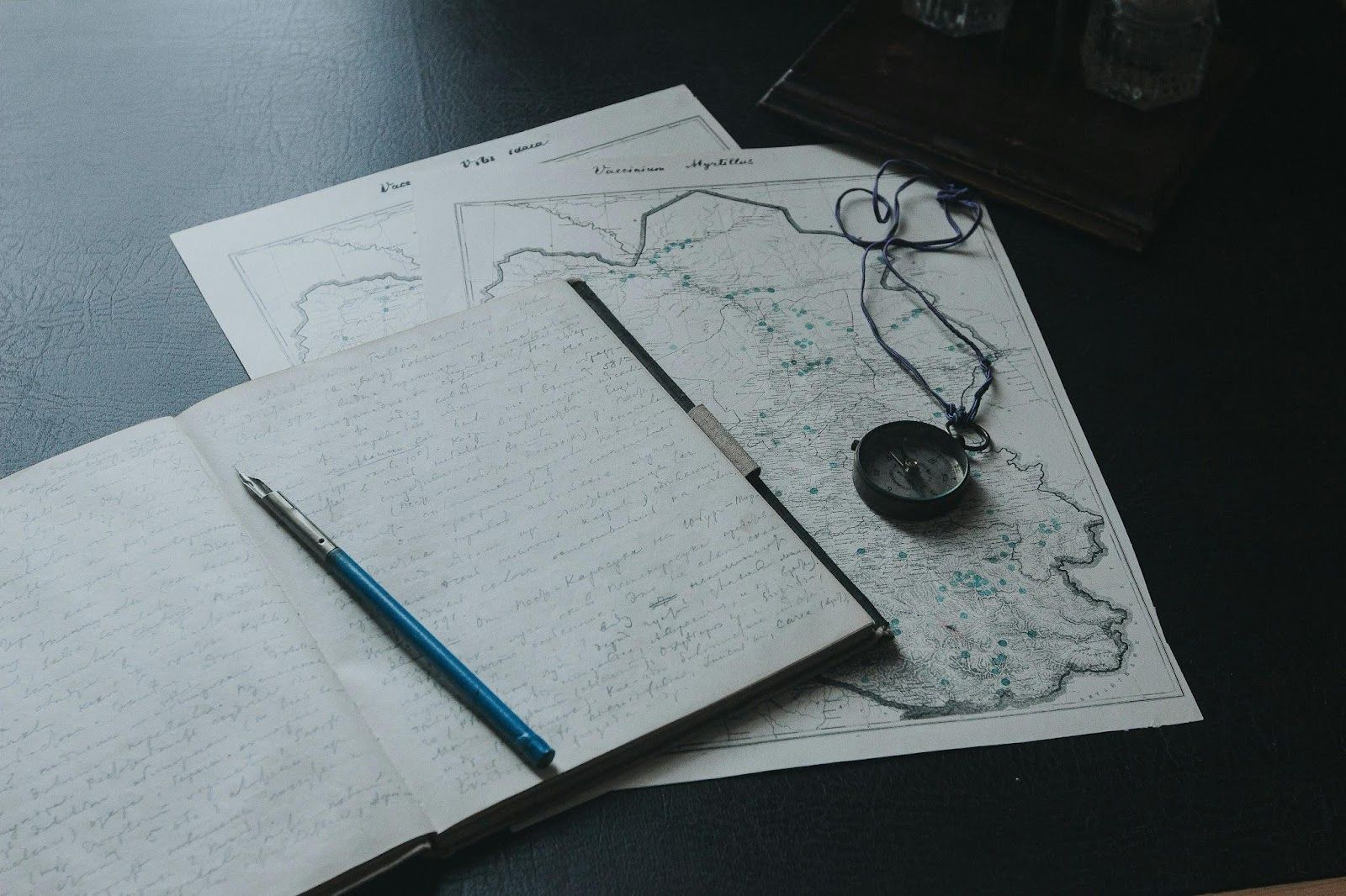
Before leaving home, travelers often prepared handwritten directions, copied from maps, guidebooks, or provided by travel agents and train station clerks. Following these written directions also meant interpreting phrases like "bear right," "continue past the old barn," or "turn after the second bridge."
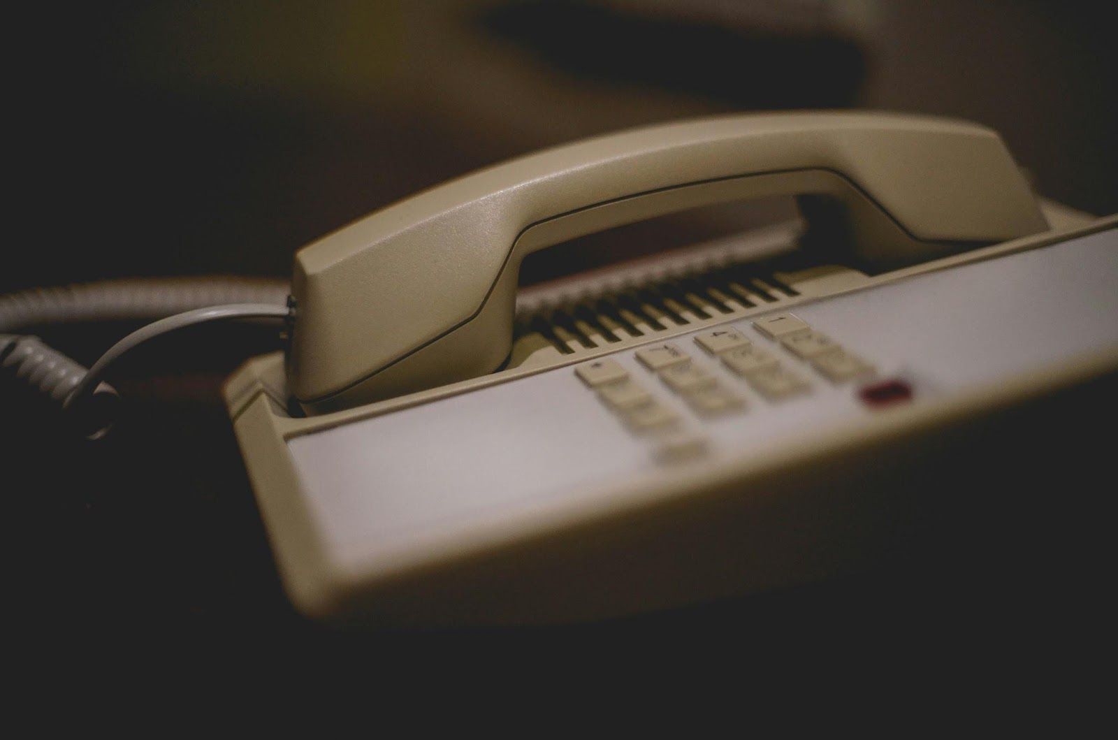
Pay phones, where every second counted
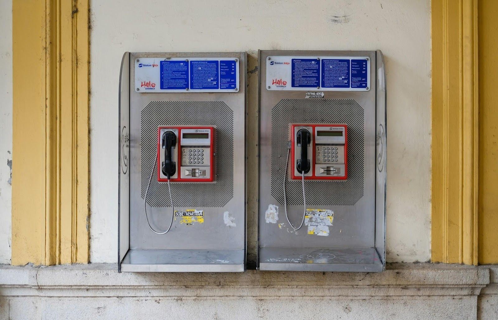
Staying in touch while traveling once required finding a pay phone, having the right coins, and often waiting your turn. Calls home were usually short, purposeful, and spaced out.
You simply needed to reassure worried relatives or maybe share an outstanding anecdote. But you didn’t share every minute of your trip on Instagram stories, that’s for certain.
Planning money before the trip even began
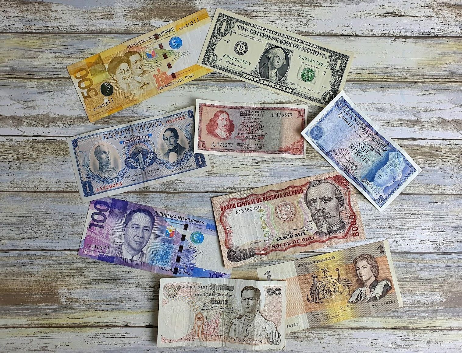
Remember: travel once required serious financial foresight. Before credit cards were widely accepted, travelers relied on a mix of cash and traveler’s checks, carefully calculated in advance. They decided how much they could spend per day, where extra funds might be needed, and how long that envelope of money needed to last.
You had to be punctual–or else
Train and bus travel depended on printed schedules, often bought at stations or mailed ahead of time. Miss a connection, and you might be waiting hours, or even overnight. Planning a long journey meant carefully studying timetables.
But let’s be honest: there was satisfaction in making it to the train or bus just minutes before it took off.
Calling ahead for directions
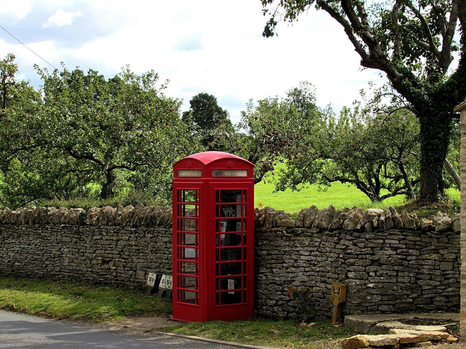
In some towns and rural areas, travelers could call service stations or local switchboards to ask for directions before setting out.
A real person would explain the route step by step, often referencing landmarks and local knowledge that no map could show because they simply weren’t printed. Instructions like "turn after the old grain elevator" or "slow down once the road narrows" were common.
Spreading travel news through networks
Before instant messages and location sharing, travel updates often moved through informal social networks. Someone’s parents might receive a call and pass the message along. A neighbor would be told where you were headed. There was almost always someone expecting to hear from you eventually.
Relying on good old memory
Without devices constantly guiding them, travelers developed strong mental maps. They had to! You knew where you were because you had paid attention while getting there. Over time, this built confidence and spatial awareness that many people still carry today.
Keep wandering
There’s always
more to explore
 General
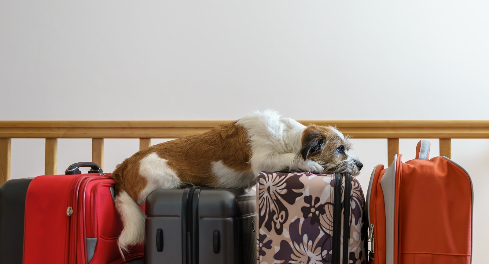
How do you leave your pet at home without the guilt? A complete guide
4 min.
Read Now

Booking a flight on the wrong day could cost you $150 more
4 min.
Read Now
Traveling on a budget? 10 U.S. attractions that won't cost a dime
5 min.
Read Now

Ever wondered which items are most commonly lost in hotels and planes?
5 min.
Read Now